Hiking in Iruya Argentina is a must for all walking enthusiasts. One of the most popular routes in the area is a day trip to San Isidro. The trail follows the San Isidro River through a series of canyons, before reaching the small village of San Isidro de Iruya.
This guide will help facilitate your journey while hiking in Iruya Argentina.
Iruya to San Isidro Trail Information
- Distance: 15km roundtrip
- Elevation Gain: 566m
- Trail Type: Out and Back
- Difficulty: Easy
- Washroom Facilities: None
Best Time of Year to Visit Iruya
The best time of year to visit Iruya is April to November. These months are comfortable during the day (17-25 degrees Celsius). The months of December-February are prone to heavy rains and can produce flash floods, causing roads to be inaccessible.
This path is exposed to the elements with little shade covering. It’s best to either attempt this in the early morning or late afternoon. Around 3pm, the winds tend to pick up, cooling off the area immensely.
Guided or Self-Guided
The path to San Isidro is straight forward and does not require a guide, though you are welcomed to use one if you need it. Hotels in the area usually charge around 20-30 USD for the half day adventure and include water.
After doing extensive research about the area, I decided to hike alone. The path is super easy to follow, especially once out of town.
While most hikes in Iruya do not require a guide, like Mirador del Cóndor or Mirador de los Condores, I would perhaps recommend using one to explore some more remote areas. On my route back from San Isidro, I attempted to find the ancient ruins of Titiconte. I added an additional 6km to my journey and was unable to find the trail into the mountains. While I simply adore using AllTrails, this trail was not reviewed and provided inaccurate information.
How to get to the Trailhead
The trailhead for this hike conveniently begins in the centre of Iruya on Gral. San Martin. Make sure to stock up on additional supplies like water and snacks, as there is no where on route to replenish them.
Iruya is significantly bigger than San Isidro, so do not expect anything more than a handful of places to eat and sleep.
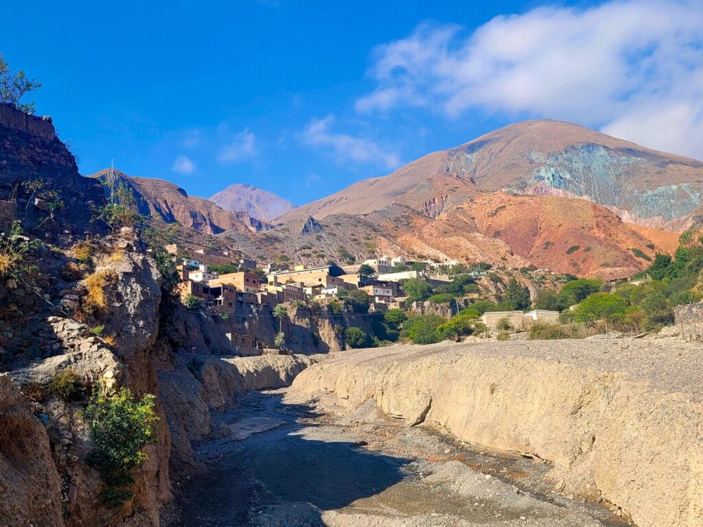
The Route: Hiking to San Isidro
From the town centre of Iruya, head north along Cam.Iruya/San Isidro. This journey will run parallel with the Iruya River and takes around 2km to reach the intersection and the path towards Isidro. Along this route, you will pass through by many shops and homes of the residents of Iruya. The town is small, making it easy to navigate around without getting lost.
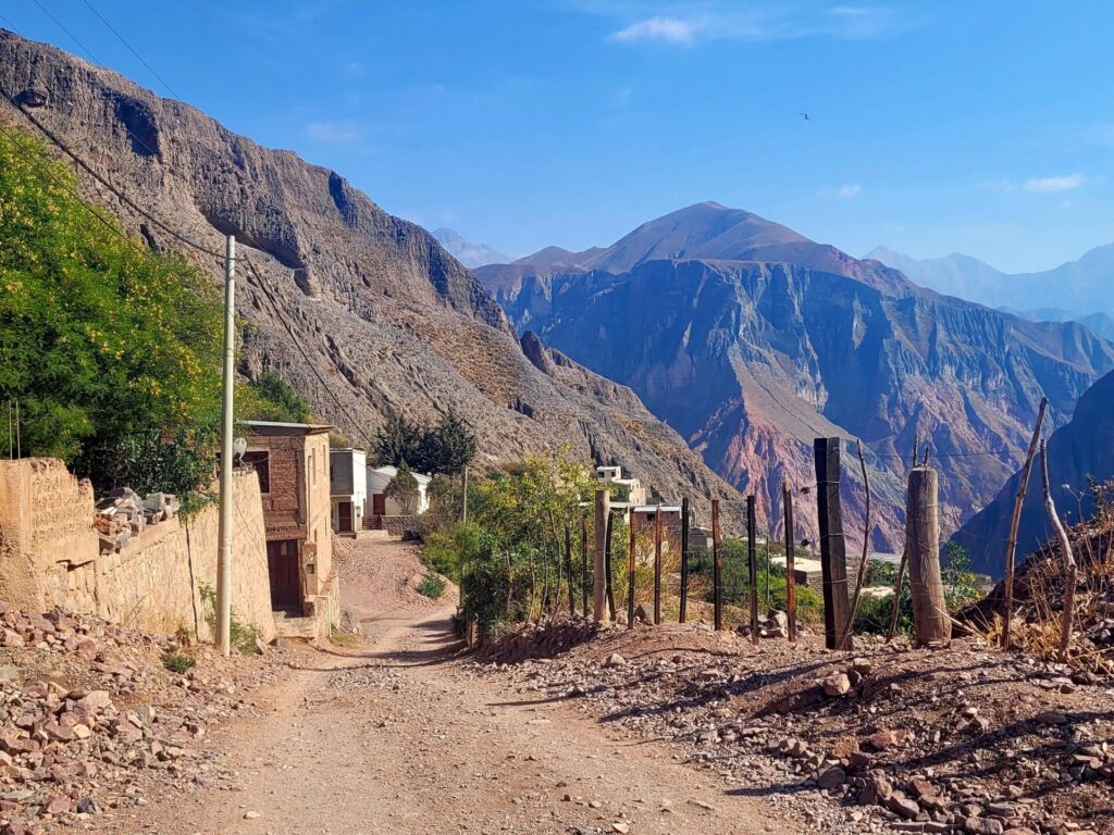
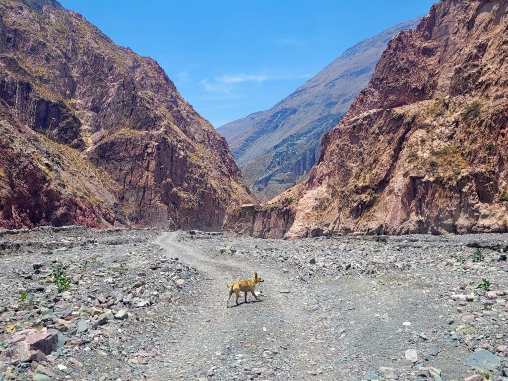
There are no designated footpaths, so take caution when walking on the road. Don’t be surprised if you attract the attention of dogs. I had two accompany me for 10km on this trek. While most of the dogs were friendly in town, use your better judgement when encountering wild animals.
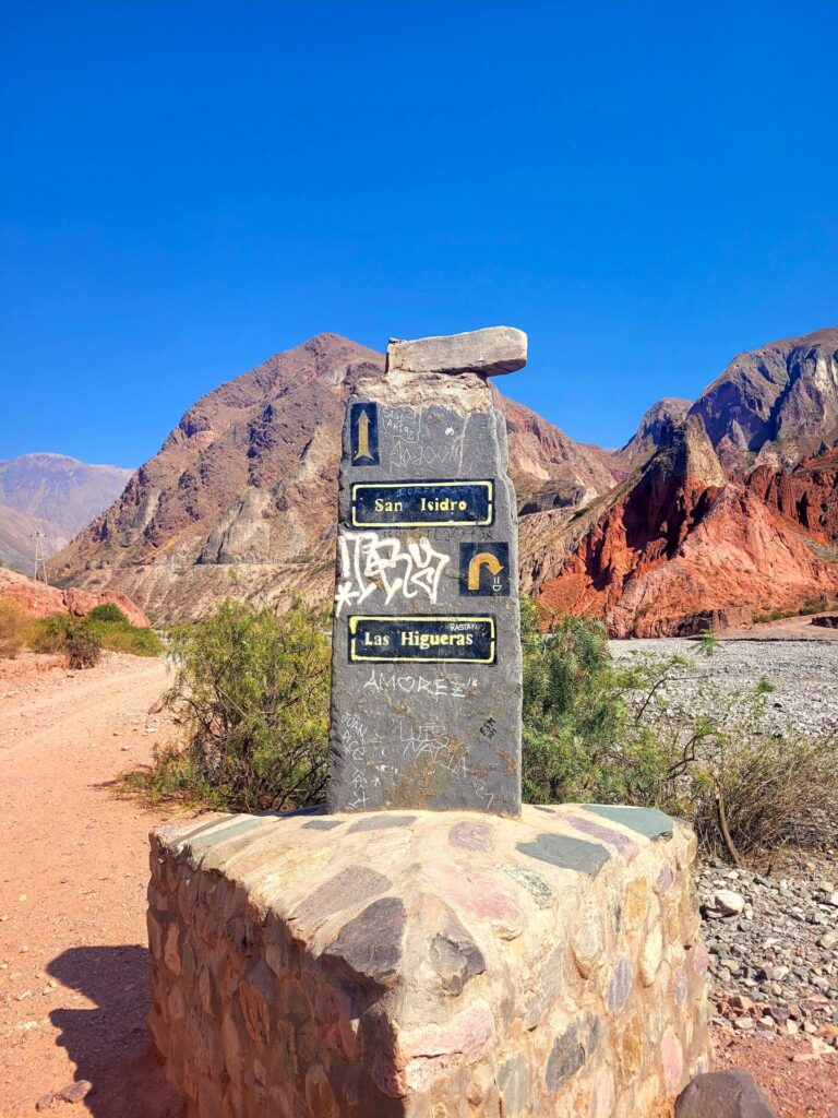
Around the 2km mark (depending on where you started), you will reach the outskirts of town and see a sign indicating the direction of San Isidro. Head left and continue your journey towards the mountains.
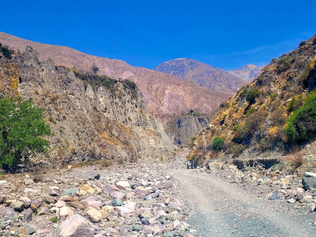
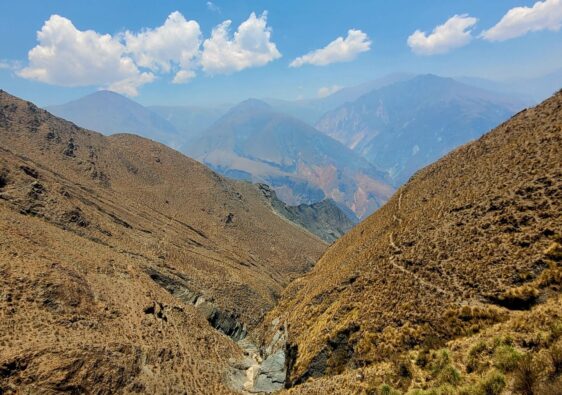
As you proceed down into the river basin, the path becomes rockier. The entire trek is along a gravel/rocky roadway through canyons, which pass over several river crossings.
This trail receives traffic from motorbikes, large trucks, horses, and pedestrians. Technically one could go off path and follow the river, but that would make for an exceptionally rocky trail.
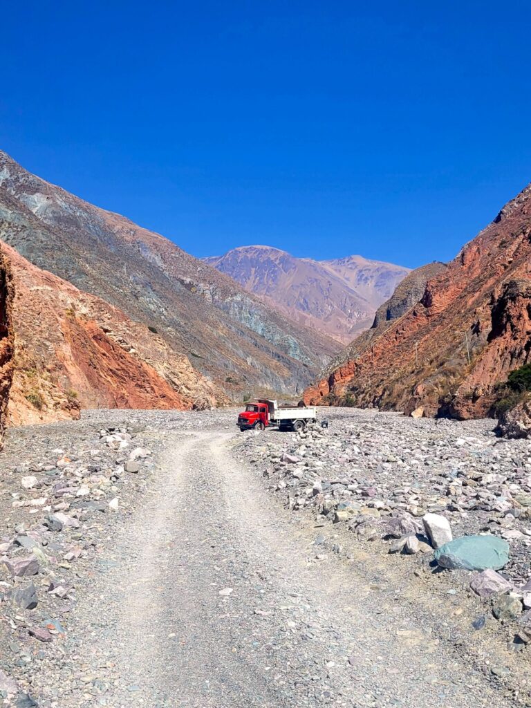
While the river was not at its full strength during my stay, it was enough to drown out sounds, especially incoming cars. So, keep your eye and ears opened around the crossings.
Some of the river crossings can also be done by stepping on rocks, while others may require you to get your feet wet. Either way, come prepared with waterproof hiking boots/shoes. It will be entirely dependant on the time of year you visit.
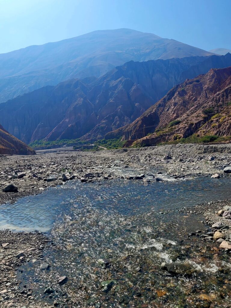
The next 4-5km wind along the river and between the canyons. There is a slow, gradual elevation gain, but nothing too strenuous.
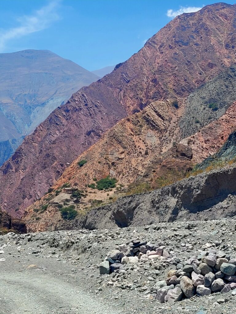
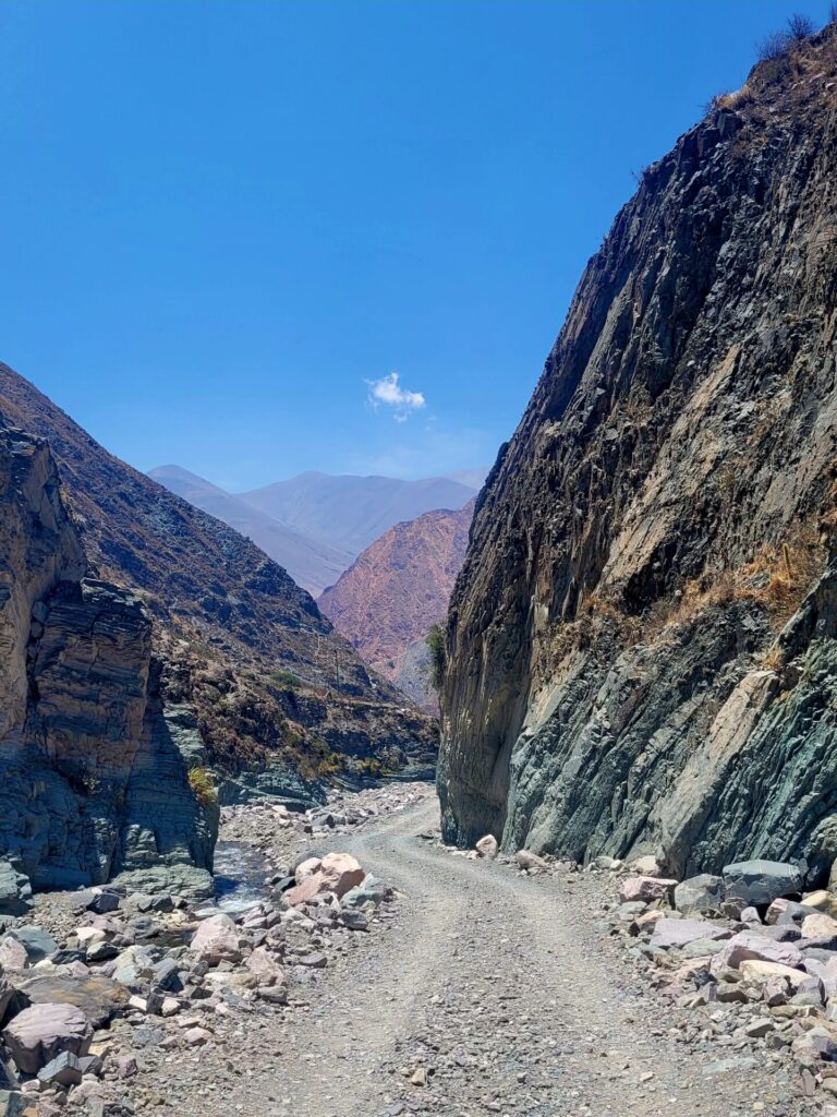
Around 7.4km, you will finally reach the village of San Isidro. Climb the stairs and gain access to some beautiful viewpoints of the gorge. At the top of the stairs, to the left, is a small shop selling drinks, snacks, and fresh fruit.
I got to the village quite early in the morning, so the few restaurants San Isidro has, were not yet opened. There is a church and some additional viewpoints of the village and surrounding mountains to explore. If you get to the village around lunchtime, check out Comedor Norte en Tierras Ocultas or Comedor Teresa.
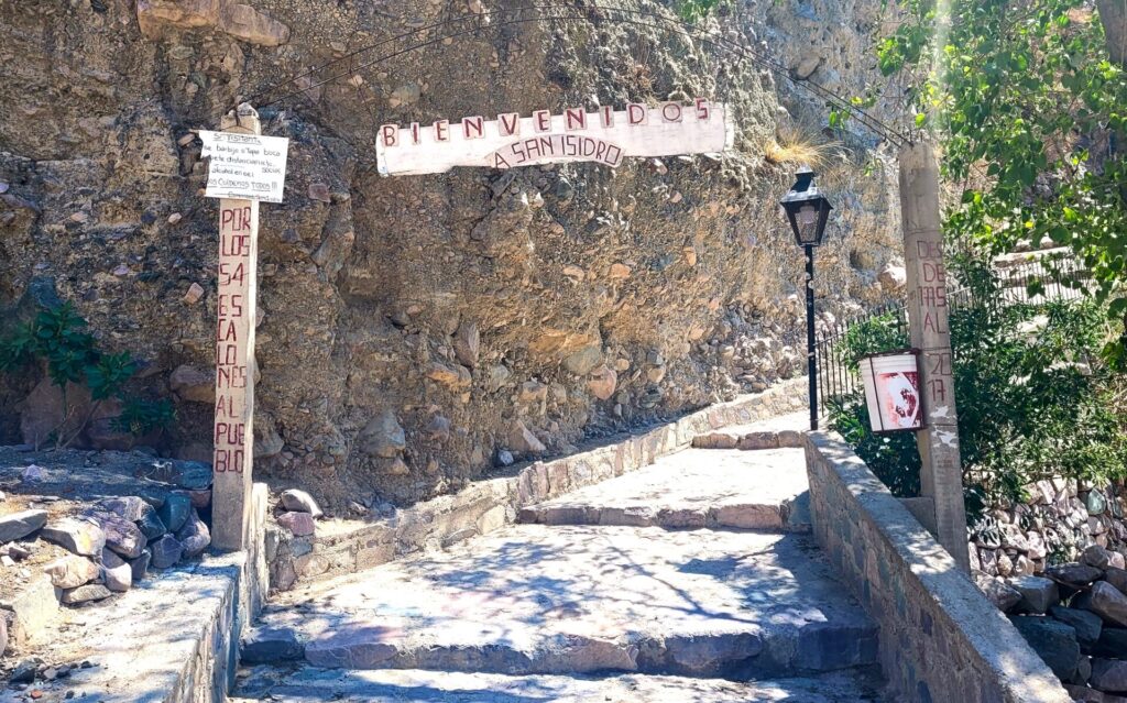
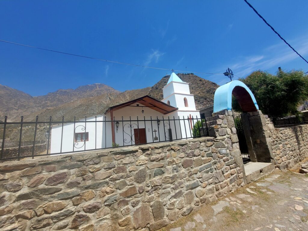
Alltrails ranks this hike as Hard. I didn’t find anything particularly difficult about this hike, except for the length. There is a gradual elevation gain but nothing too extreme. The area is exposed to the elements, so sun protection is a must. Overall, this trail was easy to navigate and didn’t present any issues.
Hiking to Iruya-San Juan-San Isidro-Iruya
If you have more time in the town of Iruya, the hike from San Juan to San Isidro and back is also breathtaking. The trek usually takes 2-3 days and reaches elevations of 3400m above sea level.
Most people break the hike into three stages:
- Stage One: Iruya to San Juan
- Stage Two: San Juan San Isidro
- Stage 3: San Isidro to Iruya
My original plan in Iruya was to do this trek, however I was unable to find ways to book accommodation in advance in the village of San Juan and was short on time.
If you don’t want to deal with the logistics of planning a trip to Iruya, Andes Challenge is a local company based in Salta that specialises in adventure travel in the region. Their prices are reasonable and have excellent response time/communication.
How difficult was the hike?
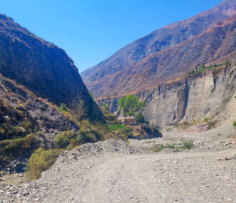
The hike was long (around 15km in total) but overall I would say it was easy. I was expecting it to be very difficult, but it’s relatively flat and i had no issues navigating it.
Both of these hikes sound great. I’m adding them to my list. Thanks 🙂
Love that you were joined by some local canine guides!
Wow! It looks breathtaking. I can imagine riding my motorcycle through here. Oriya is going on my bucket list.
It’s a very bumpy road but I did see a few motorcycles along the route
What a beautiful area! Thanks for sharing!
These look like such beautiful hikes and the relatively flat route is inviting!
Some beautiful viewpoints. Thanks for sharing!
This is so convenient because I actually go to Argentina next year!
This hike looks perfect – beautlful scenery, a river crossing, and a path easy to follow!
I am embarrassed that I don’t know much about this part of Argentina…thanks for the inspiration
What a gorgeous hike! I’ll save this for when I finally get to visit Argentina!
What a unique landscape to go hiking in! I can see why it’s so popular.
We are heading to Argentina in February but sadly won’t get an opportunity to go hiking in Iruya to San Isidro. Good to know we would need to be prepared for wet river crossings. And that the logistics may be challenging if we needed accommodations to stay in San Juan.