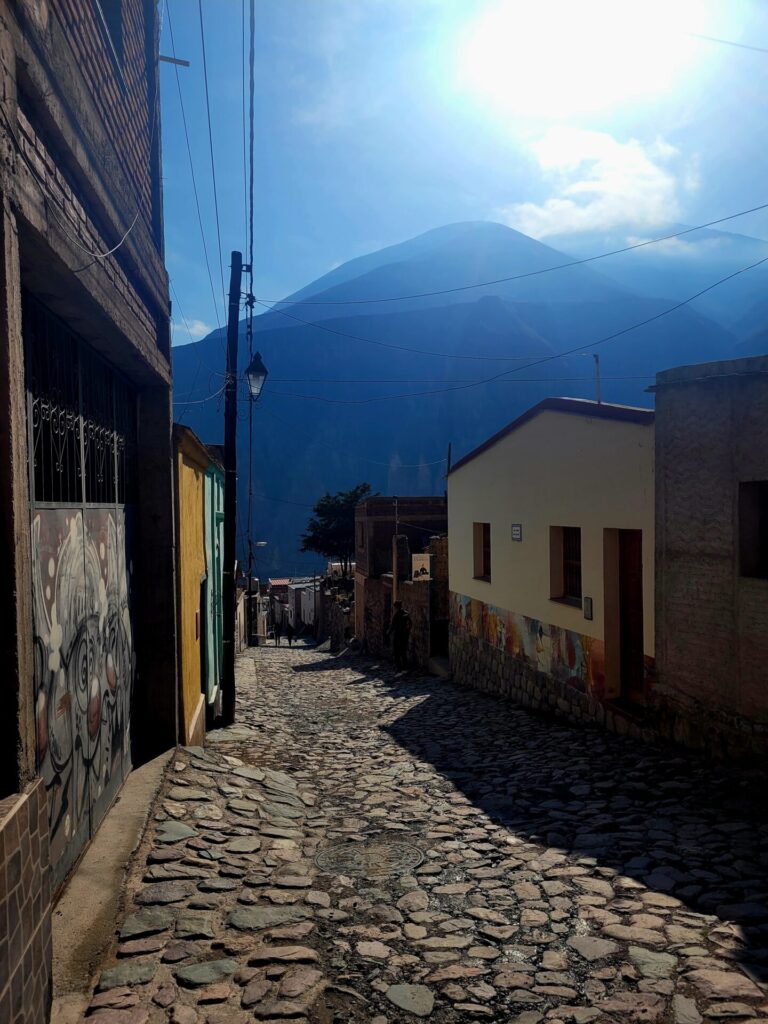
The remote village of Iruya is a hidden gem for hikers in Northwest Argentina. This isolated village of 1000 people is located in the Salta province and boasts some of the most spectacular hikes in the region. From multi-coloured canyons, gorges, condors, and a dry arid climate, hiking in Iruya is sure to be a crowd pleaser.
Due to its sheer remoteness, most people end of spending a minimum of two nights in Iruya or using it a base for a longer multi-day adventure through the Andes Mountains.
This short guide will provide details on some of the best hikes in the area, places to stay, safety issues and how to reach this amazing village.
Disclosure: I only recommend products I would use myself and all opinions expressed here are my own. This post may contain affiliate links that at no additional cost to you, I may earn a small commission
Best Season to Hike in Iruya
Hiking in Iruya can best be enjoyed throughout most of the seasons. Daytime temperatures are comfortable, ranging between 15-25 degrees Celsius, depending on the time of year you visit.
Being deep within the mountainous range and close to the Andes, the nighttime temperatures in Iruya can be consistently chilly.
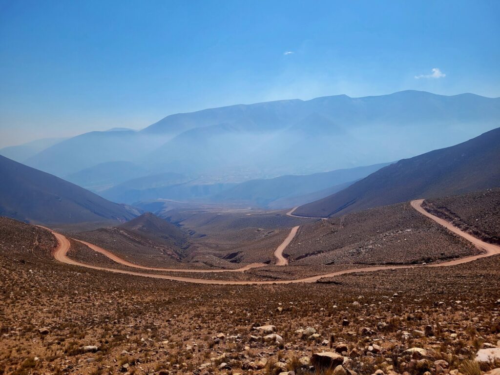
Travelling to Iruya during the summer months (December to February) is usually discouraged. There is only a single road leading in an out which usually requires a 4×4 vehicle to navigate. The road is narrow and crosses many rivers to reach the remote village. High rainfall during the summer has been recorded in Iruya, causing rivers to swell and wash out roads.
For an enjoyable experience with great weather, plan your visit between the months of April to November. I visited in the month of November and had sunshine, warm temperatures (20 degrees Celsius) and cool evenings.
How to Get to Iruya
Simply put, Iruya is not an easy town to reach. The closest airport to Iruya is Gobernador Horacio Guzmán International Airport (Jujuy Airport), located approximately 4 hours’ drive away.
The last 54km of the journey is along a gravel road that winds down and around a mountain pass. This road can become very dangerous, especially at night and for buses. Having a vehicle with 4X4 capabilities and a confident driver is important.
By Bus
If you are in no particular rush and want to extend your visit through the Salta province, I’d recommend using the local buses to visit multiple towns including Iruya. These journeys can often be long but are very affordable. There are two bus companies that service the area: Iruya and Panamericano de Jujuy.
Your best option is to make your way to either the town of Tilcara or Humahuaca.
Routes to Humanhuaca from Jujuy Airport (JUJ) here.
Routes to Tilcara from Jujuy Airport (JUJ) here.
From there, buses run more frequently and take around 3 hours. Here is a great resource for planning your bus journeys. Prices from either of these towns will usually cost around 1570 ARS roundtrip ($12 CAD).
By Car/Driver
The simplest and most time conscious way to reach Iruya is by either renting your own vehicle or arranging for a driver. While having your own driver is the quickest way, it can be quite expensive, as you will often be paying for their accommodation as well.
During my visit to Argentina, I was short on time and arranged a driver through my hotel (Hotel Iryua). While I probably wouldn’t go for this option again due to the hefty price, it was a very pleasant and overall stress-free experience.
If you have the extra cash or want the comfort of your own transfer Amalinas Viajes y Tursimo is a great company to contact. Alternately you can contact your hotel and see if they can arrange a transfer.
Altitude Concerns in Iruya
The village of Iruya sits at an elevation of around 2700m above sea level. For those not used to higher elevations, you may experience some mild altitude sickness. It’s encouraged to spend 2 days in a location to become accustomed to the change in elevation.
While I did not experience the sickness in the village itself, I did feel slightly nauseous on the road into Iruya. The journey starts around 4000m above sea level before descending into the mountain valley.
Make sure you stay hydrated and carry medications (acetaminophen or ibuprofen) if you think you will be prone to mild sickness. Some locals chew Cocoa leaves to help alleviate symptoms.
Animal Precautions in Iruya
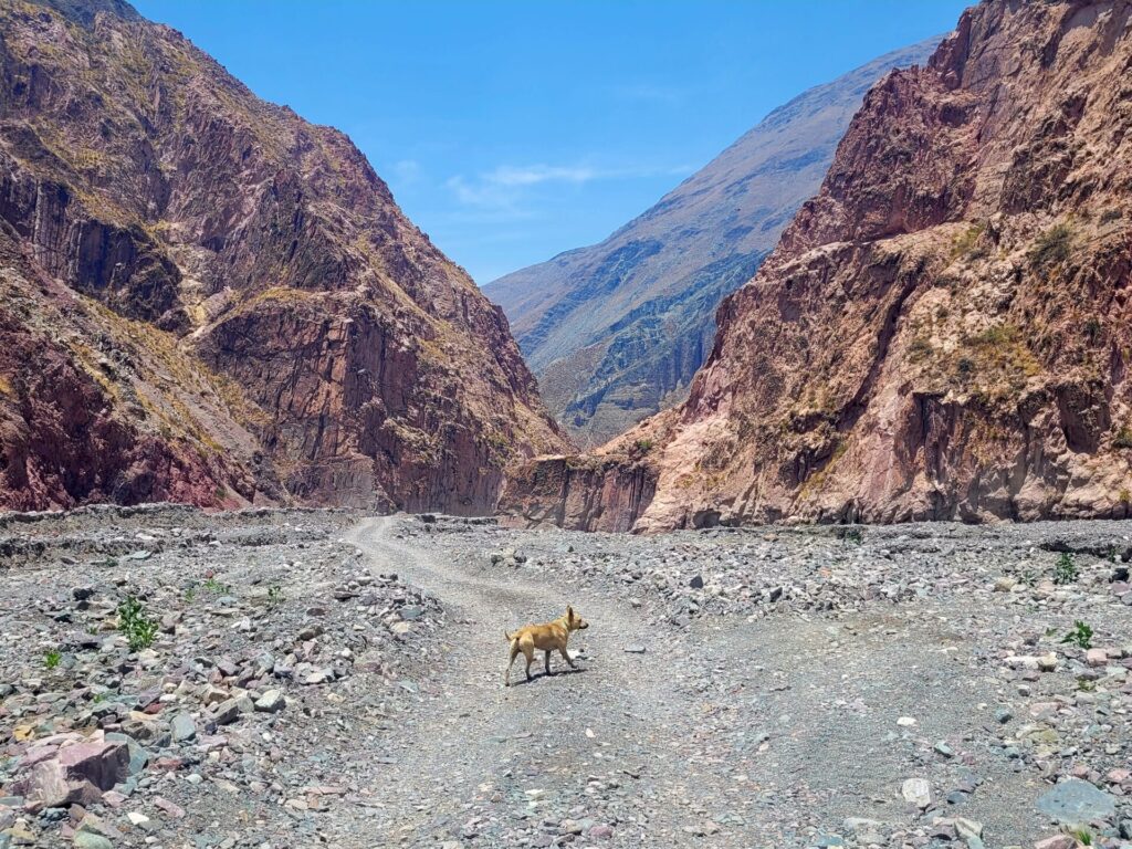
I did not come across a lot of wild animals around Iruya except for a few mountain goats and some condors flying overhead. I did however notice a huge number of dogs wandering the streets and neighbourhoods. On one of my walks, I had a pair of dogs follow me for 10km. While they were friendly and not aggressive at all, this may not be the case for all the animals you encounter.
How to Get Around Iruya
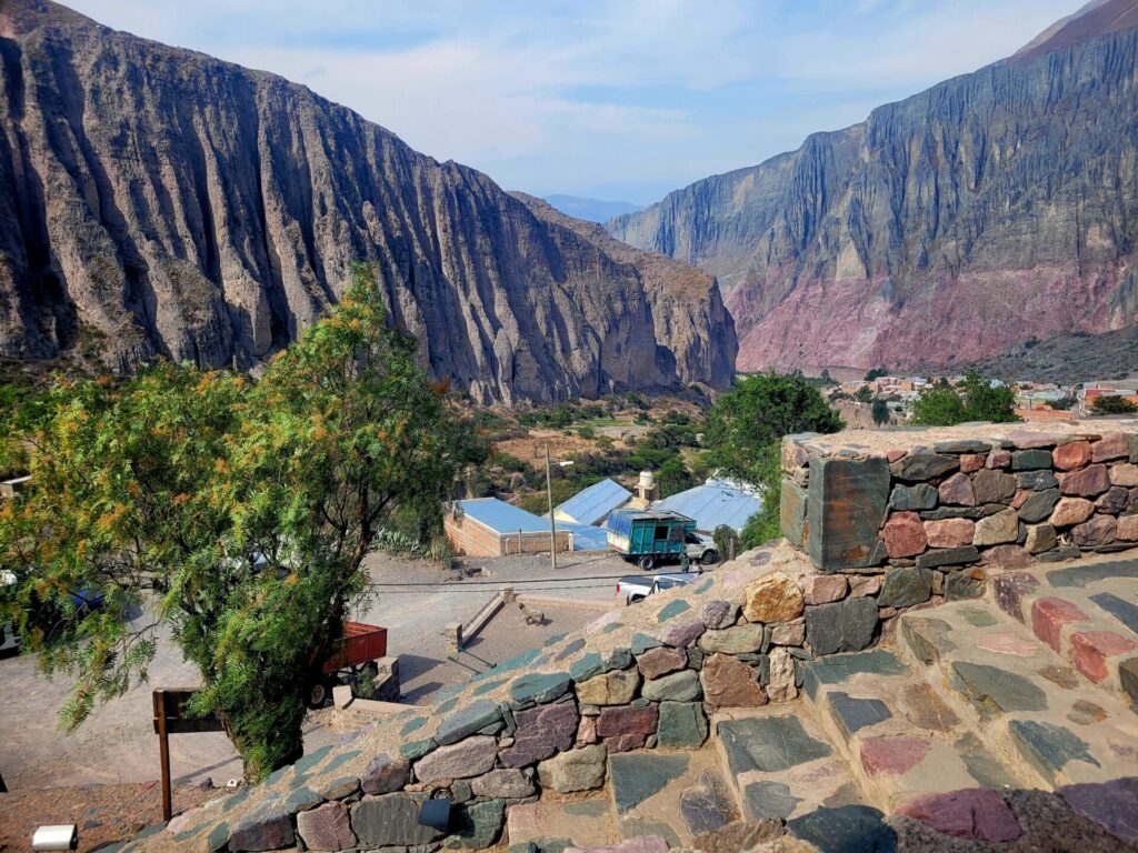
The remote village of Iruya is very small. Cobblestone streets are narrow and very steep in some areas. Most of the hotels, banks and supermarkets are concentrated in the main square, which can easily be walked to. Unless you plan on visiting other remote villages in the area (which are far and few) you can ditch the vehicle when you arrive for a few days.
Where to Stay in Iruya
There are few accommodations available in Iruya. The village only has one hotel but does offer other lodgings such as hostels and homestays.
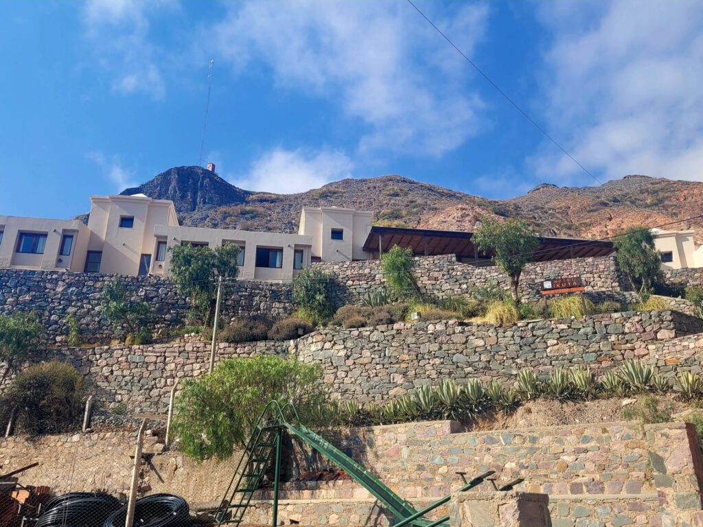
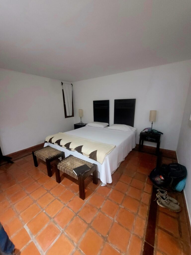
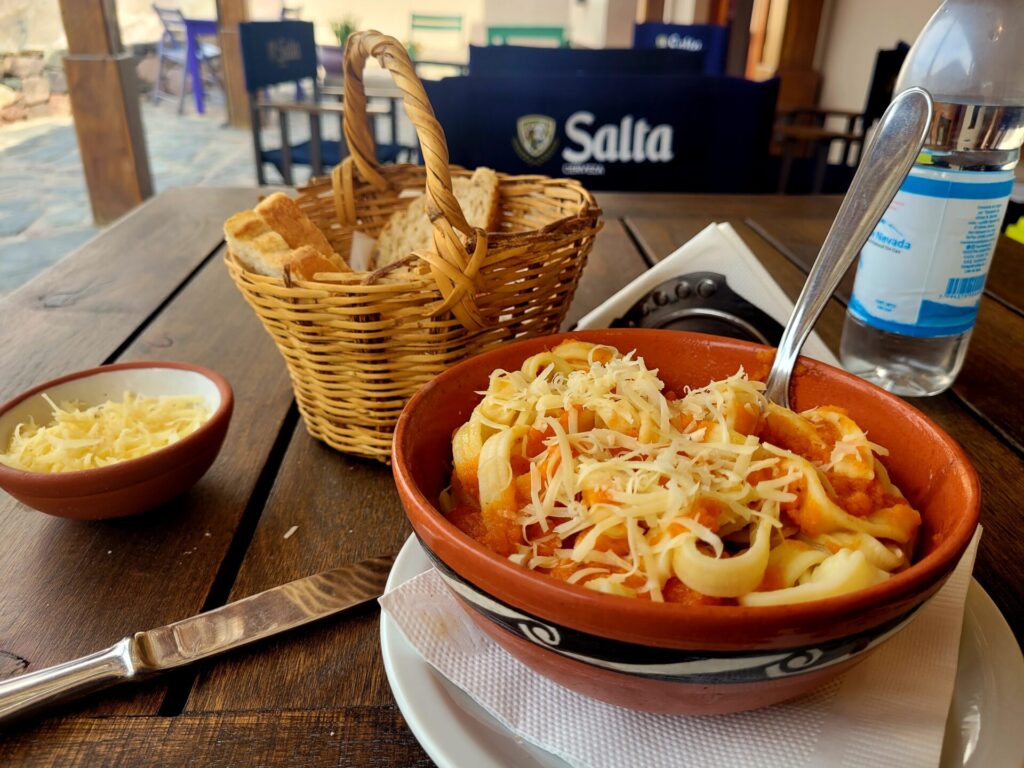
I stayed at Hotel Iruya. The hotel is perched on top of the highest hill in Iruya. The hotel offers beautiful views of the valley below, breakfast and an array of other delicious foods for lunch and dinner. The rooms were large and very cozy. Transfers and daily tours were also offered at reception.
Hiking Options in Iruya
While there may not be a large selection of options when it comes to hiking in Iruya, the trails that are available are worth the ordeal to reach the small village. Local guides can be arranged, if you feel more comfortable, although these routes are safe enough to be done independently.
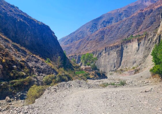
Iruya to San Isidro (EASY)
This easy, but long hike along the Rio San Isidro to neighboring village San Isidro is the most popular hike in Iruya. Once out of the town, the trail is clearly marked and easy to follow. There is a slight elevation gain but minimal at best. The path follows the gravel road between the two villages, so vehicles may be present at any time of day. Several small river crossings will also be present.

Popularity: By mid afternoon, this hike has a fair amount of people on the trail. There is plenty of space, so it never feels crowded.
- Distance: 15km
- Elevation Gain: 590m
- Time: 4 hours
- Trail Type: Loop
- Difficulty: Easy
- Washroom Facilities: None on route
Read my full guide of San Isidro here
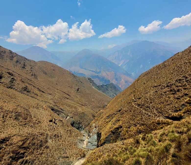
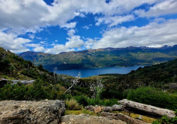
Mirador del Condor (HARD)
By far the most breathtaking hike in Iruya. This out and back trail is demanding, narrow and climbs to elevations of over 3000m. There is an option to cut the hike short, by only visiting the first viewpoint: Mirador de Condores. I highly recommend completing the entire trail, as the final views are stunning.
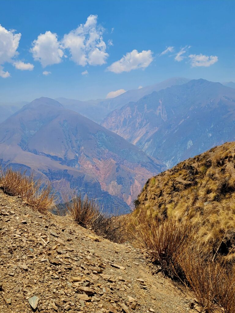
Popularity: The first viewpoint is more popular. Paths are narrow, so plan your visit earlier in the morning to avoid congestion (though I highly doubt there would ever be any).
- Distance: 10.3km
- Elevation Gain: 559m
- Time: 4 hours
- Trail Type: Out and Back
- Difficulty: Moderate/Hard
- Washroom Facilities: None on route
Read my full guide of Mirador del Condor here
Further Exploring in Argentina
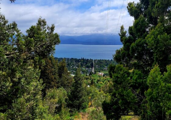
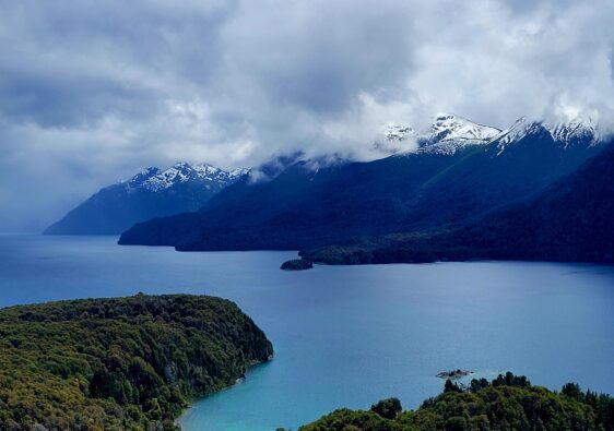
If you have extra time, extend your stay around the other smaller villages near Iruya or head further south, towards northern Patagonia, in Bariloche.
Great Details for a Guide ! Will definitely Save it 🙂
This looks like such a gorgeous destination, especially the fact that it’s so far from an airport. Can’t wait to read more of your travels in South America