El Golfo remains one of the most underappreciated attractions in Lanzarote, and it is situated in the south-west coastal region. El Golfo’s diverse volcanic terrain and renowned green lagoon, make for a unique hiking experience in the region.
This guide will provide all the necessary information you need to make your hike around El Golfo in Lanzarote a memorable experience.
El Golfo Trail Information
- Distance: 9km
- Time: 2-3hrs
- Elevation Gain: 177m
- Route: Loop
- Difficulty: Easy
- Washrooms: At Siroco Coffee shop
Best Time to Visit El Golfo
The summer months from June to September offer the best opportunity for those seeking warmer weather, with the temperature ranging from 18 to 30°C. It is necessary to be prepared for the heat and bring adequate water and sunscreen to avoid any discomfort.
Autumn, which falls between October and November, is a great season for hiking in Lanzarote if you want to avoid the crowds and the extreme temperatures. The average temperature during this period ranges from 15-25°C, making it perfect for longer hikes without feeling either too hot or too cold.
November to March is typically when it there is a chance of rain in Lanzarote. Temperatures remain high, making it for an equally nice time of year to visit. Cloud coverage is more common during the winter months.
I visited in the month of June, during the afternoon. The temperature was warm, and the volcanic terrain made it hot. I did not encounter any other hikers along this route, making for a quite walk.
How to get to El Golfo
Unfortunately, there is no public transport that reaches El Golfo. The nearest town reached by local bus is La Hoya, which is 10km away from El Golfo. Bus 60 leaves from Arrecife towards La Hoya quite frequently. The remaining journey can be done via taxi.
Otherwise, the most convenient way to get to El Golfo is by car. From Arrecife, take the LZ-2 west towards Yaiza. At the roundabout, follow the LZ-704/LZ-703 towards El Golfo. This route will take around 30-40 minutes.
Plan your route here
El Golfo Trailhead Information
As you proceed down the hill on the LZ-703 into El Golfo, there will be a parking lot on the left-hand side. Parking is free of charge and there are plenty of spots available. A small café called Siroco Coffee Shop is beside the parking area. They provide snacks, refreshments, and washrooms. There is a small fee to use the restroom (20-euro cents).

There is additional parking at the north end of El Golfo as well, just off Avenida Martitima and across from the children’s playground.
Laguna de Los Clicos (Lago Verde)
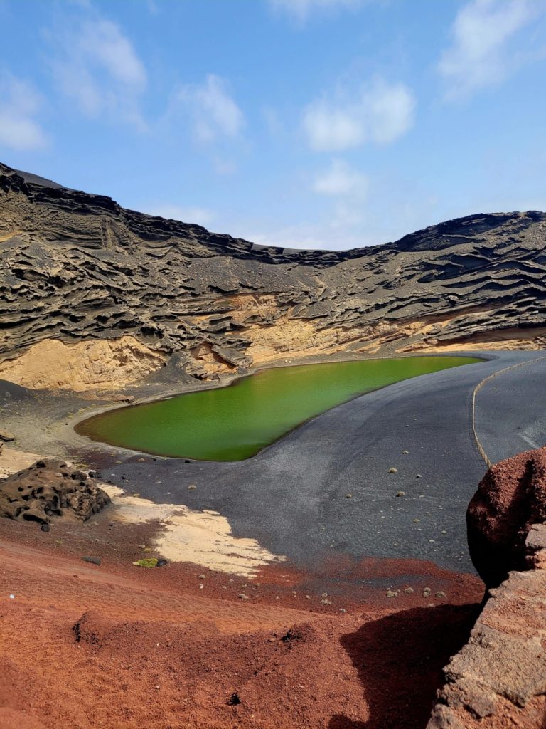
The first viewpoint along this route is located on the path to the left of the coffee shop. This trail will lead towards the beautiful green lagoon, Laguna de Los Clicos. This unique lagoon gets its green hue from algae and a mix of sulfur.
The green contrast with the black pebbled beach and blue Atlantic waters is a sight to see. Access to the beach and lagoon is strictly prohibited, so please respect the barriers in place. This area is the biggest attraction of El Golfo, so at times, it can become congested.

Head back towards the café and continue walking along Avenida Martitima towards the north end of El Golfo. Restaurants line the streets, so if you need to eat or grab extra supplies, now if the time to do so. There is no shade from this point on.

Playa del Paso
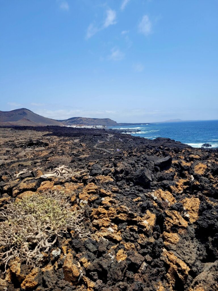
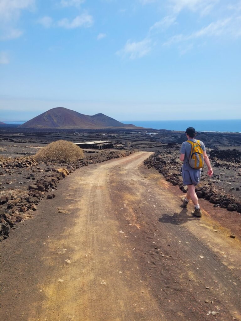
At the end of the road (across from the children’s playground and overflow parking), there will be a small path leading into the lava fields. For the next 2km, follow this path through the lava.
This terrain can be quite narrow and rocky. Good footwear is recommended for this trail. The path hugs the coastline through the lava fields, providing endless views of the crashing waves and hidden coves.

There is a small 1km detour off the main path to visit Playa del Paso. This black sandy beach is beautiful, however due to the intensity of the waves, swimming is not recommended. There are no facilities nearby either, in case of any emergency.
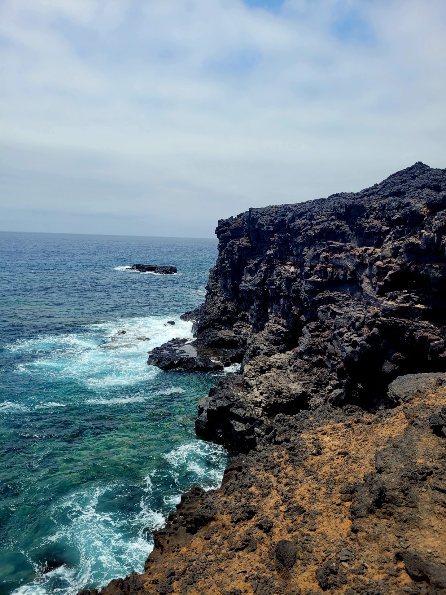
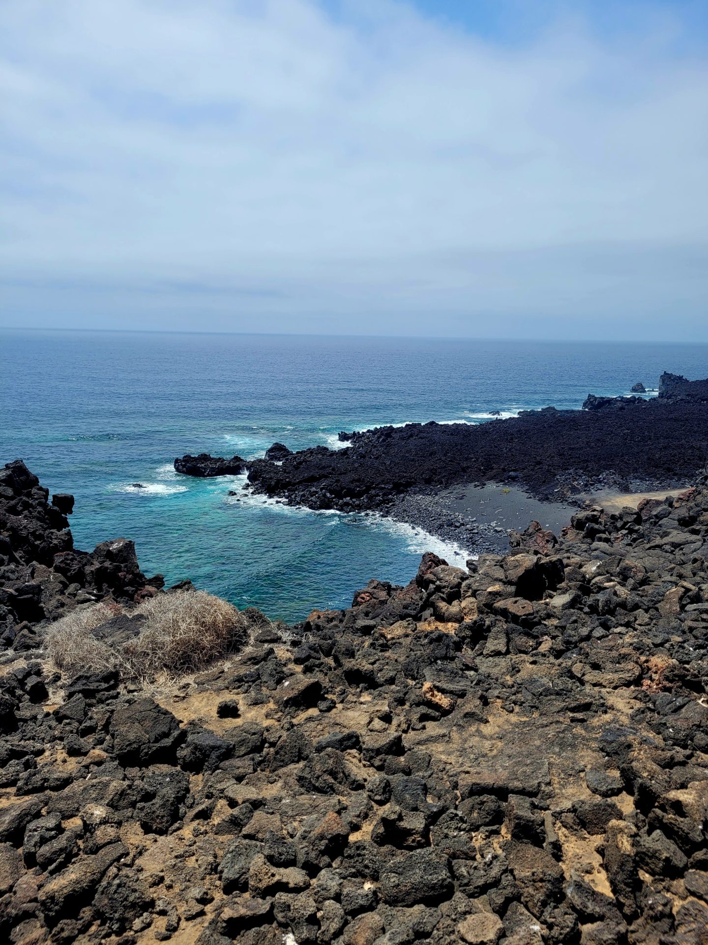
Back on the route, continue along through the lava fields. You will notice the landscape will begin to change as you proceed near the border of Timanfaya National Park. The road will become sandier and widens. Temperatures will also increase as you make your way inland and away from the coast.

The Road back to El Golfo
The next 4-5km will walk back towards the Volcanoes Natural Park border along a long dirt pathway. You will come across a barrier with warning signs marking the boundary of the Timanfaya. Proceed past the villa and through the white gates at the bottom of the hill.
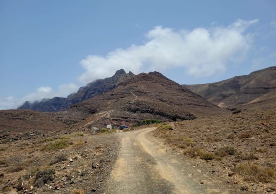
This route is less scenic than the lava fields but is uniquely different. The landscape is very flat, except for a few small reddish peaks.
I’ll admit, in comparison to some of the other hikes in Lanzarote, this one was lacking on the views. It’s still a hike worth taking, to see a different side of the island and to experience the vast emptiness.
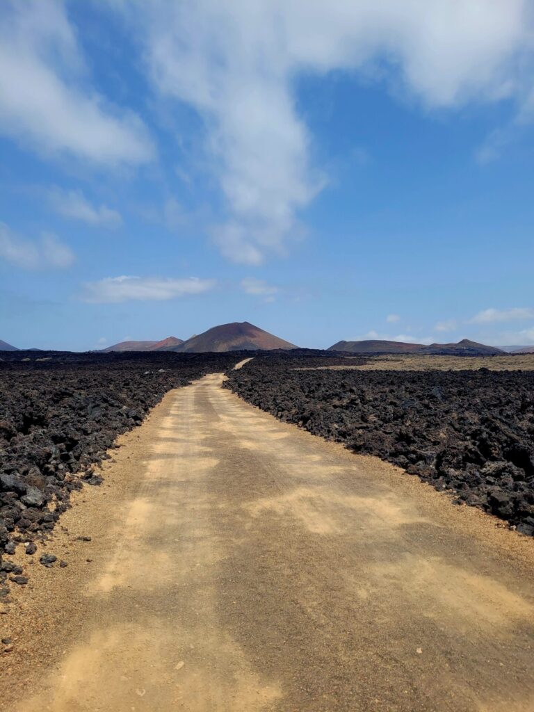

Caldera Quemada is another optional viewpoint along this route. I did not venture towards it, as I wasn’t sure if I was walking on private property.
Past this, turn right and head back towards El Golfo. This route will lead past many little homes, so be cautious of potential cars. The trail will venture back through the streets of El Golfo, where you can reconnect with the original path on Avenida Maritima.
Further Exploring
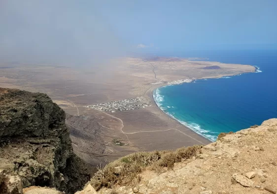
For a more exhilarating hiking experience, head over to the north of Lanzarote. Peñas del Chache is an amazing half day adventure that starts at the sea and climbs through the mist and cloud cover of the towering mountains.
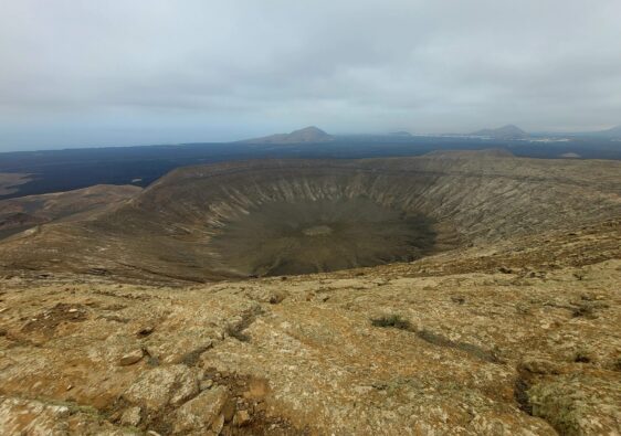
Caldera Blanca is a unique volcanic crater hike in Volcanoes Natural Park. This 1200m wide crater is the biggest in the Canary Islands.
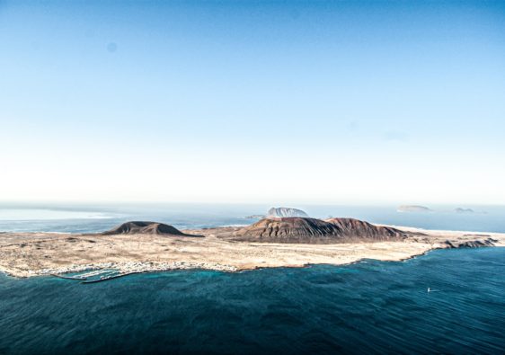
La Graciosa is best explored by foot or bike. With it’s many beaches and walking trails, there is no shortage of activities for a full or half day excursion.

