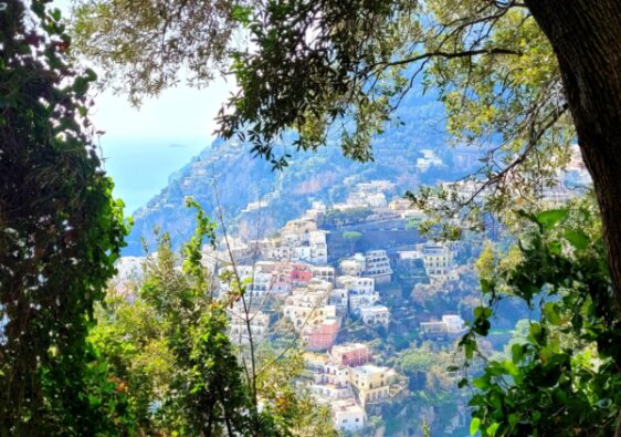
Valle delle Ferriere is a beautiful nature reserve that should not be missed if visiting the Amalfi Coast. This valley, located in the heart of Amalfi, offers a pristine setting of lush greenery, waterfalls, and rocky cliffs that form a breathtaking landscape.
This guide will provide all the essential details needed to plan your Valle delle Ferriere hiking trip so you can make the most out of your journey.
Valle delle Ferriere Trail Information
- Distance: 8.5km
- Elevation Gain: 600m
- Route: Loop
- Difficulty: Moderate
- Washrooms: Pogerola restaurant: Trattoria da Rispoli
Best Time to Visit Valle delle Ferriere
Valle delle Ferriere is a year-round destination. The temperatures during spring are pleasant, ranging from 10°C to 20°C, making it perfect for hiking.
Summers may reach 25°C to 30°C but the Valle is deep in the mountains and primarily covered in thick forest, making the hike more tolerable.
Fall and winters are mild, but receive more rainfall throughout the year, causing trails and stairs to become muddy and sometimes tricky to navigate.
I visited during the month of March. The weather was perfect, hovering around 15 degrees, with endless sunshine. The trail was quiet, as the high season in Amalfi was a few months out. If you want the trail to yourself, without the crowds, I’d recommend visiting in the spring.
Hiking Precautions
This trail has a significant elevation gain and decent. Most of the gains and losses are completed by stone staircases. Even for a seasoned hiker, these staircases are very tiring and can be a tad bit slippery.
I wouldn’t recommend this trail for those with knee, hips issues or vertigo. The stairs are wider than normal, allowing for two footsteps per stair. I found this more challenging as I would have a dominant foot always landing on the stairs, tiring me out quicker.
How to Get to Valle delle Ferriere Trailhead
Situating yourself in any of the small towns along the Amalfi Coast will make the journey to the trailhead easy and convenient. The Valle delle Ferriere trailhead begins in the center of the town of Amalfi on Via Lorenzo D’Amalfi.
I stayed in the main square of Amalfi and was steps away from the trailhead.
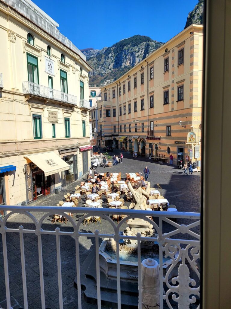
If you aren’t based in Amalfi, buses run frequently between the small towns including Ravello, Praiano and Positano.
Plan your bus route here.
From Positano, the journey takes around 40-50 minutes and costs 3-4 euros for a return trip.
Taking a ferry along the coast is also possible during the high season from mid-April to October. Ferry rides from Positano take around 25 minutes and cost 10 euros per way. Plan your ferry route here.
Amalfi to Valle delle Ferriere
From the Piazza del Duomo (the main square), proceed up Via Lorenzo D’Amalfi. This is the main road through the small town of Amalfi and can be congested, especially during high season. Both pedestrians, motor bikes, and vehicles share the narrow road. I was surprised to see cars trying to navigate through this busy area.
One of the striking features in Amalfi is the Duomo di Amalfi, a giant catholic cathedral. Towering over the main square, this cathedral was first constructed in the 9th century and has been expanded over the centuries.
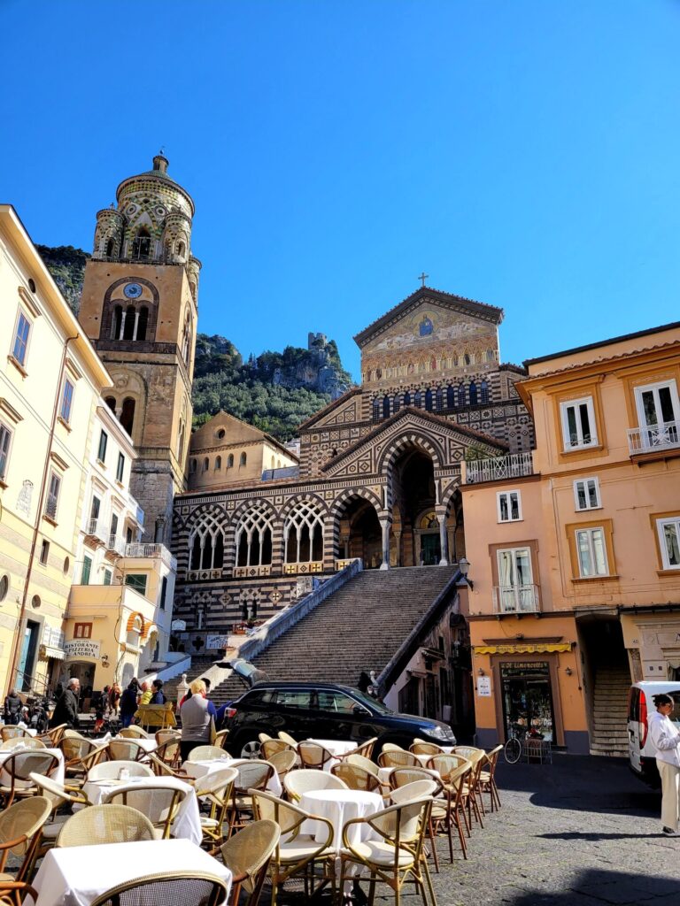
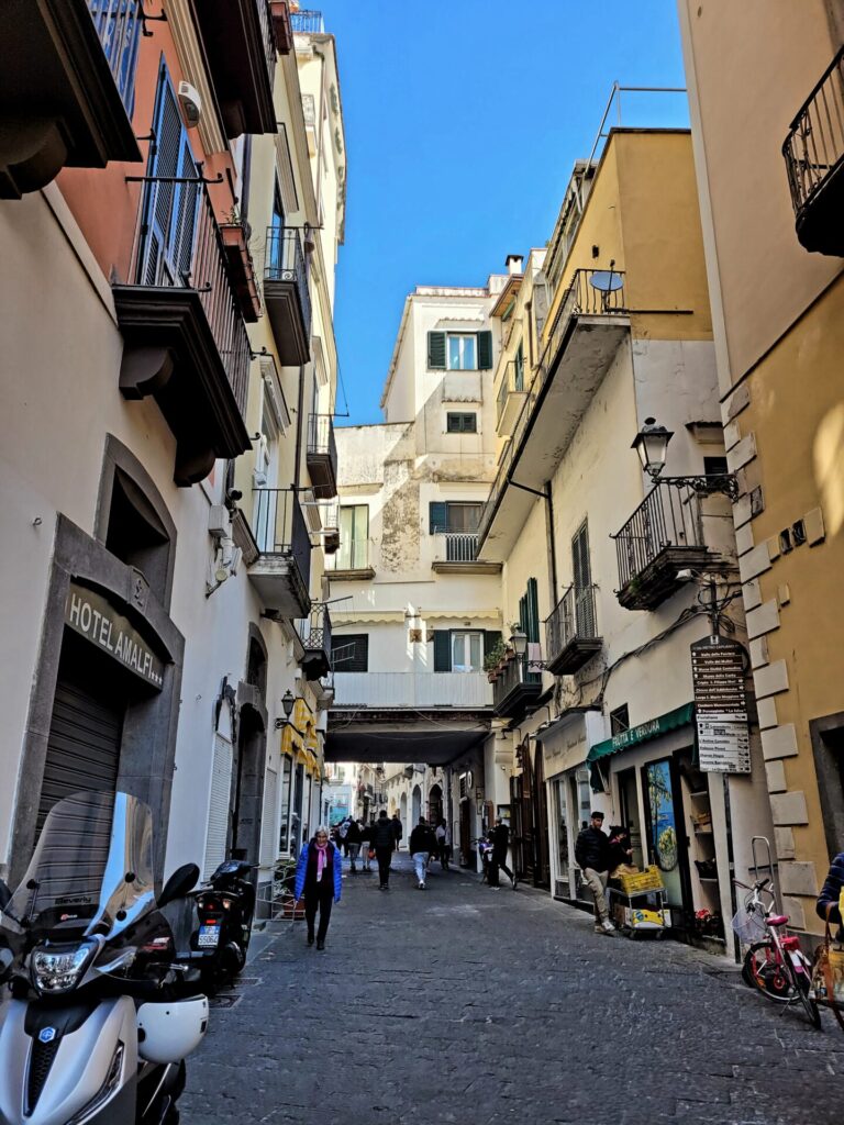
From the cathedral, the path continues along the main road for another 700 meters. This route passes along hotels, colourful souvenir shops selling lemon inspired trinkets, restaurants, and other high end clothing stores.
One the road passes through a red building with a miniature village on the left hand side, the congestion dies down.

Continue along until you reach the Museo della Carta on the left-hand side. This museum is dedicated to ancient art of paper making in Amalfi. It includes a gift shop, and you can have the opportunity to make your own paper.
Access to the Valle is located across the road from the museum on the right-hand side. Take the road (Via Leone Comite Orso) and immediately turn left. From here, you will ditch the road and start your climb into the Valle delle Ferriere.


Valle delle Ferriere to Pogerola
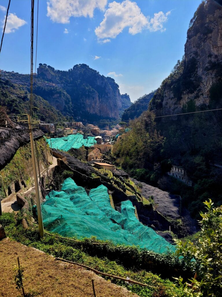
This next section is only for foot traffic, so expect a quieter journey. From here, the trail will be a mixture of stone stair pathways, moving along the mountainside of Amalfi and into the Valle. Amalfi is known for its picturesque town and its lemon trees.
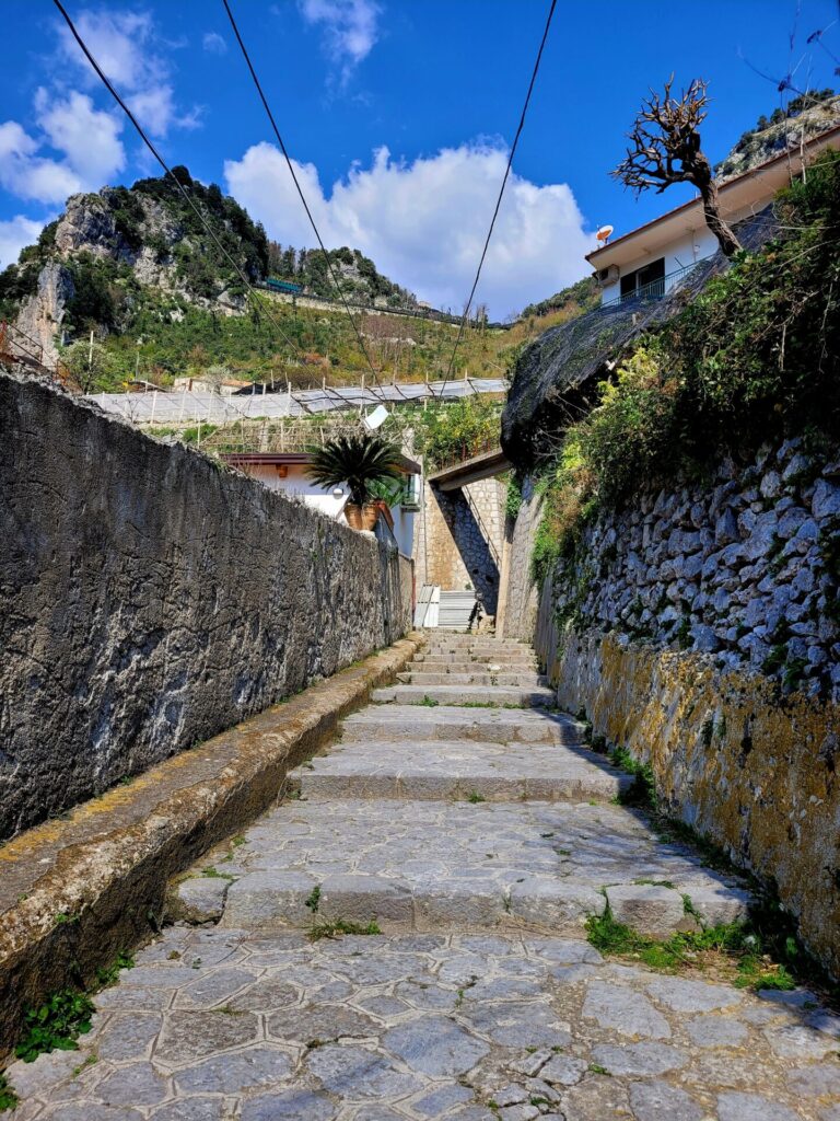
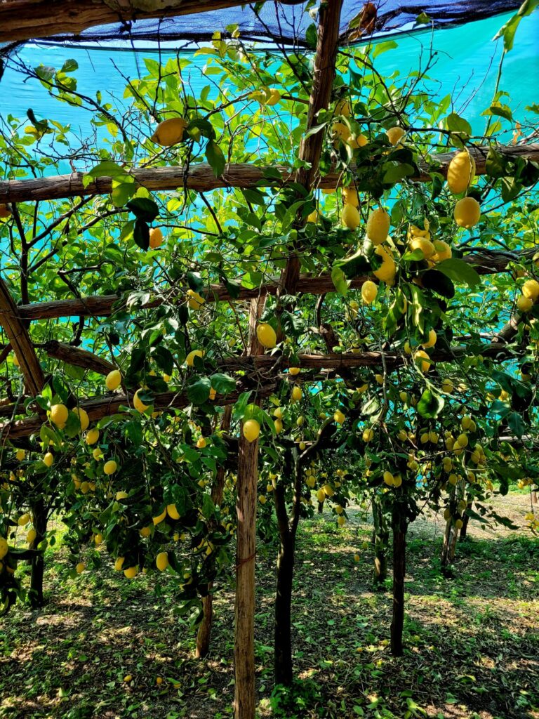
Unlike the traditional sour lemons, Amalfi lemons are larger and sweet. The trail passes by several lemon groves, with the sweet scent emitting in the air around you.
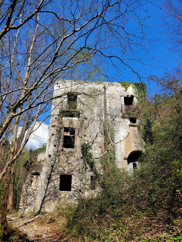
One interesting thing about this route is the abandoned iron and water mills located throughout the mountainside. You could spend a few minutes catching your breath exploring the buildings. As I was hiking by myself and didn’t do the research of the trail beforehand, I did not venture through the buildings too far.

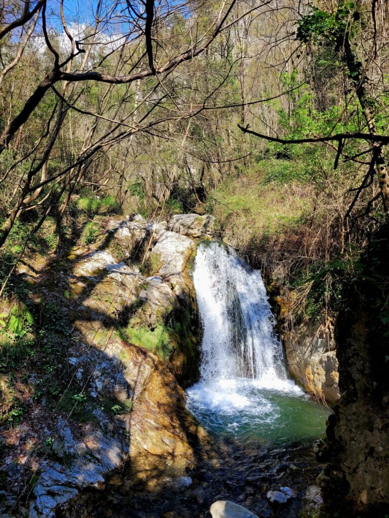
There are many little waterfalls and streams throughout the journey. Fill up your water bottle if you have run out of water by this point. After climbing as many stairs as you will, the water was both necessary and refreshing.


At 3km, there will be an optional route towards the Valle delle Ferriere. At the time of hiking, this route was unattended and closed to the public. This trail will lead for another 0.3km (0.6km return) to a massive waterfall and walk through more gorgeous scenery. The price to access this area is 5 euros.
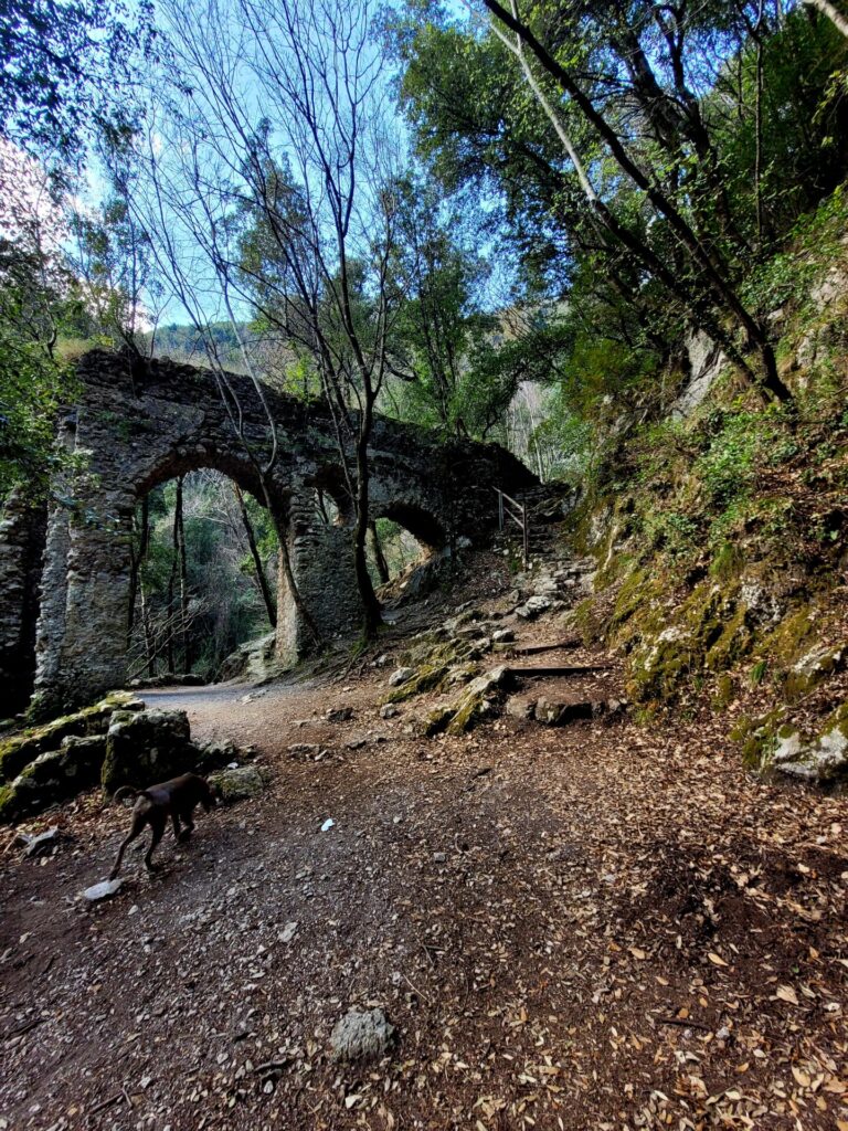
Back on the main trail, the next 2km will venture through thick forests and curve towards the town of Pogerola. The path continues to climb in elevation but it’s gradual. I found this route was a little difficult to navigate as the path was overgrown in certain areas. The terrain is a mix of dirt and rocky pathways.

Follow the red and/or white markers located on trees and rocks. There are many little paths throughout the Valle, so having a map like AllTrails is recommended. Overall, I found the trail markers in the Amalfi coast were far and few.
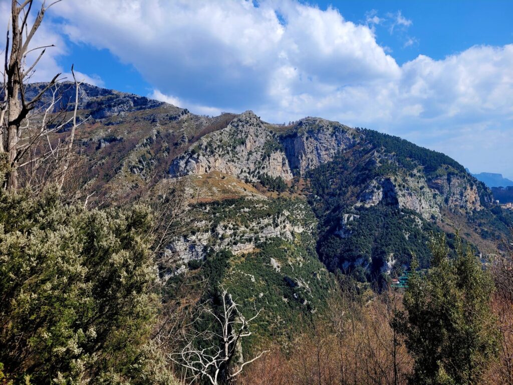
The trail begins to descend at approximately 5km. The stone stairs are a very popular pathway around the Amalfi Coast. They are often covered in moss and leaves, adding to the rustic and timeless impression the area gives off.

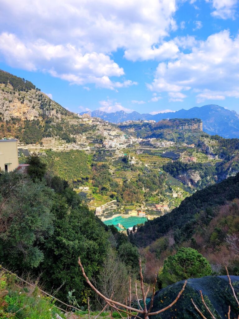
Pogerola to Amalfi
The small hamlet of Pogerola is a great place to stop for lunch, as it’s on route. This once fortress town, towers over the coast and the town of Amalfi. I’d recommend eating at Trattoria da Rispoli. The views alone are worth visiting the restaurant. Fresh homemade pastas, fish and sausages are part of this delicious menu.


Either head down towards the coast through Pogerola or continue along the path towards Amalfi. I chose to return via Amalfi. The last 2km drop over 200m in elevation through several winding rocky stairwells.


This trail will return to flat ground, ending in Amalfi and reconnects with Via Lorenzo D’Amalfi at 8km.
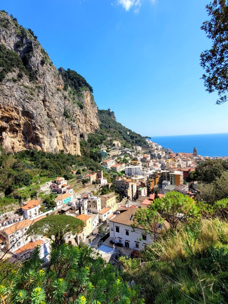
Further Exploring
When you are finished with the hike head towards Piazza Flavio Gioia. Around here you will be able to venture a bit further and explore along the coastline and boardwalk.
One of Amalfi’s beaches is located beside the bus terminal. Grab a gelato and lounge on the small yet picturesque beach.
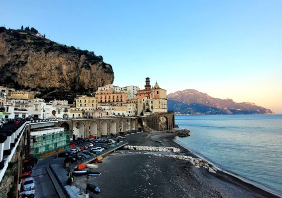
Follow the road past the ferry port, for a scenic route along the waterfront. This area provides some of the best views of Amalfi.
If you have extra time, take a bus towards Praiano and attempt the beautiful Path of the Gods walk towards Positano.

I have done some of those hikes with simply stairs upon stairs. And yes, it is tiresome. Have you ever thought about hiking the Manitou Incline in Colorado?
I’ve never heard of this place until now. Thanks for sharing it with me. It looks insane! But so much fun!
Wow! Those views look incredible! I think the steps would be exhausting but so worth it! I had no idea there were hikes in the Amalfi Coast area. So fun!
This hike looks beautiful and it looks like stairs would make it quite challenging! I would definitely need a gelato after this hike 😃
I really wanted to do this hike when in Amalfi but didn’t have time. Your article has added it back on to the to do list!
Been to Amalfi and visited on a day trip, hating most of it, but we walked up into the hills just a bit (to the paper factory) where suddenly everything turned quiet! I wish we had gone a bit further uphill on a proper walk outside the busy centre now. Stunning walking route!
This is just the thing we love to do when traveling. Going to explore this place further. Thanks for all the great info.
What a beautiful hike! Very different from the ones I’m used to. I’d love to do it one day.
I absolutely loved hiking the Amalfi Coast. While I felt paralyzed from climbing down the cliff, rye views were worth it. The air is fragrant with the scent of lemons even in the winter.
I completely missed the nature reserve while in touring the Amalfi Coast and now I really regret it!
This hike looks incredible, your pictures combined with the narration took me on the journey with you. Also, I want to try these sweet Amalfi lemons! Thanks for sharing.
I would love to do some hiking on the Amalfi Coast! This sounds like a great day hike!
I know this post is about hiking, but I can’t stop thinking about sweet lemons. It’s blowing my mind.
Wow this looks absolutely beautiful! We would never have though about hiking here, we would have just gone for a relaxing break away. You can bet that it’s on our list now after seeing your stunning photos and reading your guide!
What a great find. Thanks for highlighting a trail I missed!
This is such a charming spot in the Amalfi Coast. Thank you for the helpful information to navigate this hidden gem.
What a fantastic find on the Amalfi Coast. I’d love walking through all these old building and seeing how people lived. Thanks for sharing.
What a gorgeous location!! Saved to my Italy list!
Loved the photos of the abondoned iron and water Mills and minature village. Looks so fascinating to explore. And the valley is stunning!!
Although the Amalfi Coast is not on my bucket list, this really sparked an interest because of the beauty in these lesser-known spots and the look of the buildings and overall historic feel. Love it!