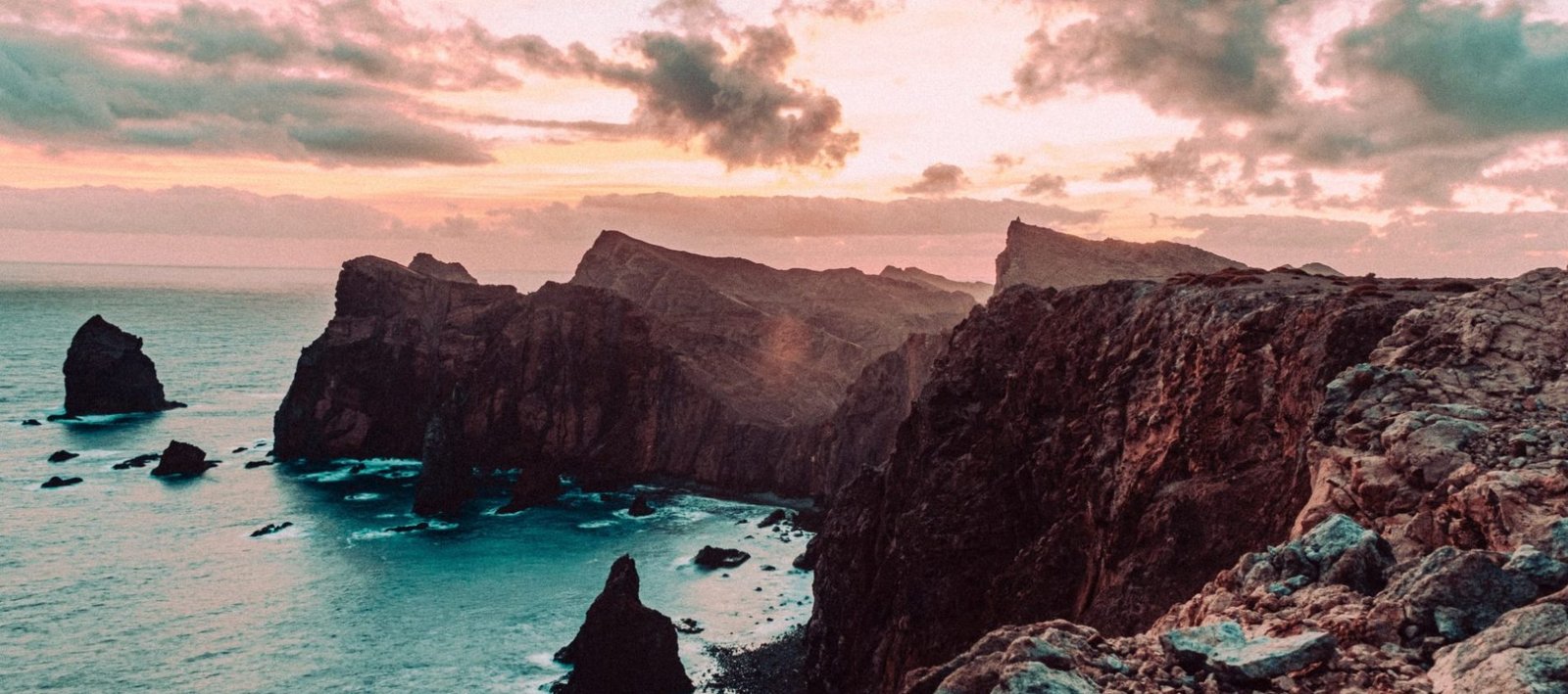
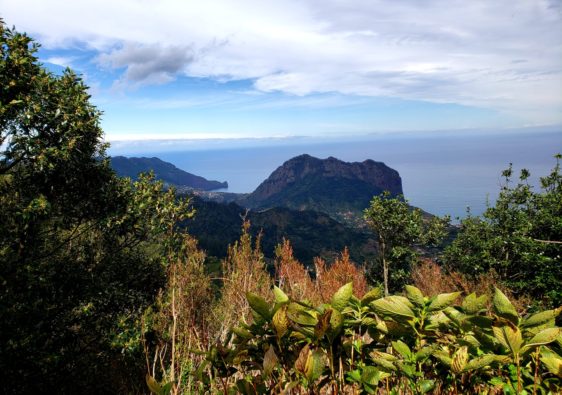
Ponta de São Lourenço is one of the most popular hiking trails on the Portuguese island of Madeira. This hike is located on the eastern peninsula and is known for its dramatic cliffs, rugged terrain, and breathtaking vistas.
Ponta de São Lourenço offers an unparalleled hiking experience for adventurers and nature lovers alike. This comprehensive guide is your ticket to discovering the hidden gems and natural wonders of this remarkable destination.
Ponta de São Lourenço Trail Info
- Distance: 8km
- Time: ~3 hours with breaks
- Route: Out and Back
- Price: 3 euros
- Elevation Gain: 400m
- Difficulty: Moderate
- Best Season to Visit: Year round
- Washrooms: Cais do Sardinha (Cafe on route)
Best Season to Hike Ponta de São Lourenço
The Eastern region of Madeira enjoys a Mediterranean climate year round which allows Ponta de São Lourenço to remain open at all times.
February is the coldest time of year, with average temperatures around 17 degrees. August is the warmest month and also the sunniest, with temperatures ranging around the mid to high 20 degrees Celsius.
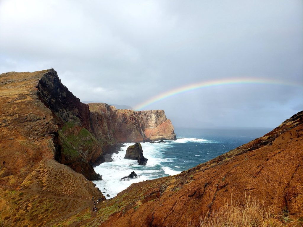
Since the hike is exposed to the elements, with no shade coverage, it is advised to start the hike in the early morning, to avoid the heat of the afternoon. That being said, it’s common for rain showers to occur in the early morning along with extreme winds, especially in the spring months.
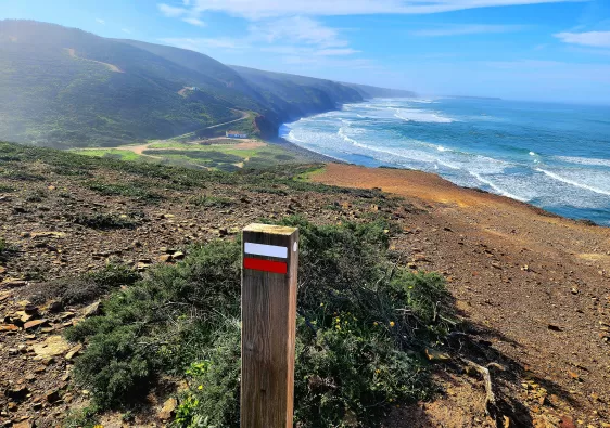
This trail is very popular and the route does become quite narrow at times. While it does have sections of moderate difficulty, it is extremely well defined and maintained, and as such still attracts very large crowds.
Hiking during high season with larger visitor numbers does make the path difficult to traverse in certain areas.
I visited in the month of March. There was some rain in the early morning but the sun came out around lunch time. The trail started to become overly congested on the second half as made my way back to the beginning, just after 12pm.
Getting to Ponta de São Lourenço Trailhead
Most people who visit Madeira end up staying in the capital city of Funchal. Here, there are many transportation options, including public transit that go straight Ponta de São Lourenço.
By Car:
- Route: Funchal City Centre to Baía D’Abra
- Duration: 30 minutes
- Map here

Parking for the trailhead is found along road ER109. There are plenty of angled spots leading to the trailhead and at the traffic loop. This parking does however fill up quickly, especially during peak hours and seasons.
By Bus:
- Route: Funchal-Baía D’Abra
- Bus #: SAM bus # 113 (Caniçal – Baía D’Abra)
- Duration: 1 hr 15 minutes (Express)
- Bus schedule here
- Bus Terminal Location: Av. Calouste Gulbenkian, 8, 9000-111 Funchal


The SAM bus leaves from Funchal and passes by the airport and Machico. The final bus stop is at the trailhead for Ponta de São Lourenço in the traffic circle.
Most buses leave for Baía D’Abra by 7 or 7:30 and arrive to the trailhead at 8:45am. The latest return bus leaves around 7:30pm and arrives in Funchal at 9pm.
Ponta de São Lourenço Hiking Route
From the traffic circle, the path descends a set of rocky stair, which soon transitions into a wooden boardwalk. This is the last area where wind coverage will be provided by the rolling hills. Past this point, the trail becomes very exposed to the elements including coastal winds.

The boardwalk ends around 400m into the hike and becomes a narrow, dirt path. On the right hand side, beautiful views of D’abra Bay can be seen.
The weather in the early morning in March was particularly moody. I encountered brutally strong winds and rain. This extreme occurrence did not last long, as I was greeted with blue skies after 20 minutes.


There are several viewpoints along the way, some that vier off path slightly. Shortly before the 1km marker, the path comes to a 3-way split.
To the left is a very short detour to the lookout point Miradouro de Sao Lourenco and to the right is the continuation of the main path. Gruta da Furna do Bode, is another popular lookout that can be found at approximately 1.3km into the walk.
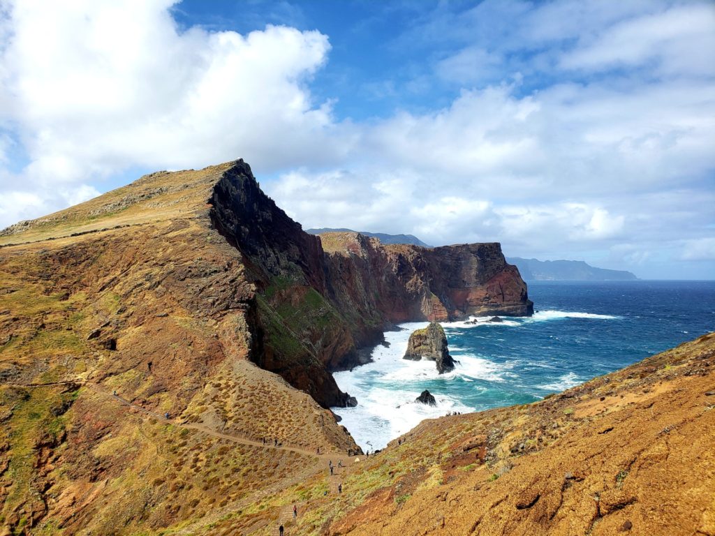
Heading south from Gruta da Furna do Bode, the trail will weave alongside rocky hillsides as the waves crash against the shore below.
There are points where the hillside paths become very narrow with large rocky drops on both sides. There are rope fences and guardrails installed in several spots for safety.


Eventually after making it past the more narrow sections, the land opens up into a larger plateau. The main path circles around the perimeter of this plateau area and once a full loop has been complete, it is a backtrack the way you came to the beginning.


Proceeding into the looped section, approximately 3km from trailhead, the cafe Cais do Sardinha can be found. Sweet and savory small dishes can be purchased here before continuing on your route.
Keep in mind this is the only designated spot to use the washroom or grab some lunch. Make sure you bring change, as it costs 1 Euro to use the bathroom facilities.

Miradouro Ponta do Furado is an additional viewpoint that can be enjoyed on this hike. It’s located approximately 450m south of the cafe. The trail is narrow and quite steep, but provides beautiful views of the last bit of land belonging to Madeira.
Beaches of Interest

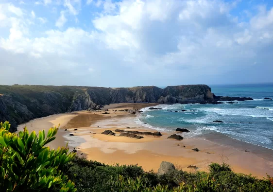
There are two hidden beaches along the route: Praia da Baía D’abra and Sardine Beach.
Praia da Baía D’abra is located approximately 950m from the start of the trailhead. Located south of Miradouro de São Lourenço, this rocky secluded beach is boarded by tall cliffs and a perfect area to enjoy the waves or swim.
Sardine Beach is located 200m west of the cafe and is accessible via the main trail. If you are traversing the loop counter clockwise, you come across a 3 way split in the trail as you head south.
To the right, is a short path that leads to the beach. Continuing straight, the main path will gradually curve east and bring you to Cais do Sardinha.
Further Exploring
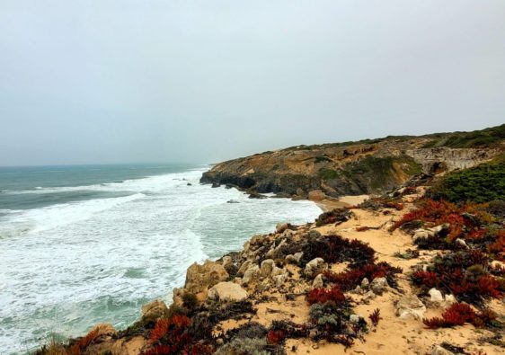
Why just stop at Madeira? There are tons of other amazing places to visit and hike on mainland Portugal including the world famous Fishermen’s Trail.
This area looks gorgeous!
Thanks for the detailed trail information and the lovely photos!
Wow! This hike looks really cool. I’ve always wanted to go to Madeira and I love hiking so this fits. Saving for a future trip!
What a scenic hike! We love coastal hikes and would love to do it if we are ever visiting Madeira.
I’ve heard how beautiful Madeira is and by the look of your photos it certainly is. The hike looks great with amazing scenery along the way.
So beautiful! This place has been on the bucket list for a while! Great pictures. I am saving this for future travel plans!
Fantastic Post, Very detailed information you have sharing. Saving for a future trip thanks for sharing
I have many friends who have gone to Madeira and they all say the island is absolute paradise for hiking. This post has just proven them right in so many ways!
The island is definitely a hikers dream
This makes me miss Madeira and all these beautiful views that is has to offer 😍 I love how complete this guide is!
This hike looks stunning! Know so many people who went to Madeir and loved it! I should add it to my bucket list!
stunning photos and great recommendations of how to get around…
Loved it! Stunning pictures and very usefull tips!
All of these views are amazing! Definitely adding this spot to the bucket list.
This place is beyond beautiful! Thank you for sharing – def a bucket list hike
Stunning photos..great recs for hiking trails… I would love to visit someday!
Wow, this is such a detailed guide with all necessary information!
I did this hike for sunrise many years ago, still to this day one of my favorite islands. Madeira is so great and the stunning cliffs on this hike are too.
Thanks so much for writing such a detailed post – saving for my next trip to the area!
I have never been to Madeira, but I would love to explore it and go on a hiking trail like this one. The landscapes are so beautiful and impressive there!
Wooowww this hike is absolutely stunning!!