Participating in a multi-day trek offers a fulfilling journey that challenges you both physically and mentally. These treks can span from a few days to several weeks, offering various amenities and transportation options throughout the route.
Some multi-day treks may lead you through remote desert landscapes, while others wind through more urban areas. One of the driving forces behind a multi-day trek is the desire to immerse oneself in the peacefulness of nature.
Nevertheless, congested trails, especially those that are narrow or lacking sufficient accommodations, can diminish the overall experience.
Here are my top five recommendations for quieter trails that see significantly fewer people while still offering serene landscapes.
The Fishermen’s Trail, Portugal
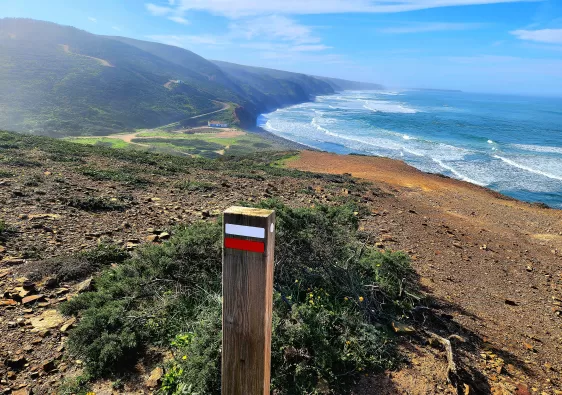
The Fishermen’s Trail is a stunning coastal adventure that ventures through southern Portugal’s Alentejo and Algarve region. Ragged cliffs, remote golden sand beaches, and quaint villages are the main appeal of this trail.
The Fishermen’s Trail is part of a larger trail network called the Rota Vicentina, which includes several multi-day hikes and circular routes.
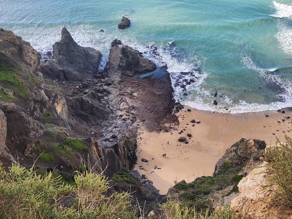
This trek spans 225km from S. Torpes to Lagos and can be broken down into 13 stages. Most days consists between 15-20km of walking, through various terrain, including sand dunes, beaches, and cork forests.
Those who don’t have 13 days to spare, can be a shorter version of the trail, lasting 4 days that goes from Porto Covo to Odeceixe. This is probably the most scenic section of the trek and cover 75km.
Best Season to Hike to Avoid Crowds
Spring (March to May) and autumn (late September to October) are the optimal seasons for trekking. During spring, expect mostly sunny days with occasional rain showers, making it an excellent time for hiking.
Temperatures range from 15-20 degrees Celsius and spring flowers are in full bloom. Autumn is also another good time of year, as most people will be returning to school. During the summer, Portugal attracts a majority of visitors seeking to enjoy in the dry beach weather and enjoy warmer sea conditions.
However, the water tends to be quite chilly in spring, deterring many from exploring beach trails. Additionally, the spring season often sees incredibly strong waves.
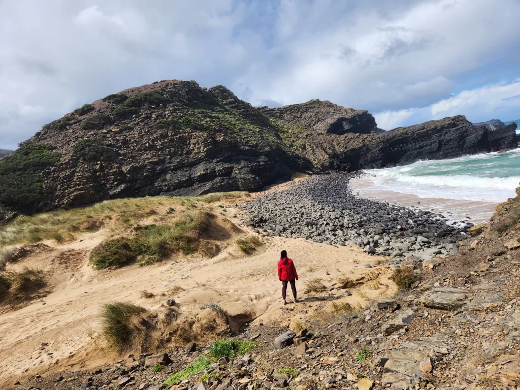
It is advised to avoid hiking the Fishermen’s Trail during the summer months, which coincide with Portugal’s peak travel season, due to soaring temperatures. Additionally, luggage services cease during this period.
I hiked the route twice in March. On both occasions, I encountered very few people along the trail, with some days passing by without seeing anyone. This was especially noticeable on the stretch from Odeceixe to Salema.
Facilities on Route
Numerous facilities are available along the Fishermen’s Trail route, with each stage starting and ending in a different village. Although the amenities may vary from stage to stage, the overall design of the trek is hiker-friendly. The trail features restaurants, washrooms, markets, and cafes conveniently scattered along the way.
In terms of accommodations, there is a range of hostels, small boutique hotels, apartment rentals and some designated campgrounds. Wild camping is not allowed along this trail.
Transport on Route
Each town along this trail is accessible via public transit, such as buses or taxis, allowing hikers the flexibility to start at any stage. Additionally, it is well-connected to larger towns, including Lisbon and Lagos.
Tour or Self Guided
This trail can easily be done without any guides as markers are easy to find and there is a great tourist infrastructure for hikers. There are also options for luggage service throughout each segment.
The West Highland Way, Scotland
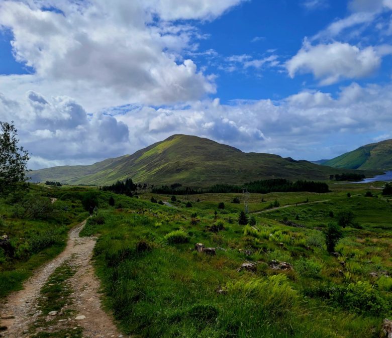
The West Highland Way is a breathtaking rural trek through highlands, moorlands, and lochs. The trek is 154km and begins in Milngavie, just north of Glasgow and ends Fort William. The route can be typically completed in 8 days, with walking distances ranging from 15-25km per day.
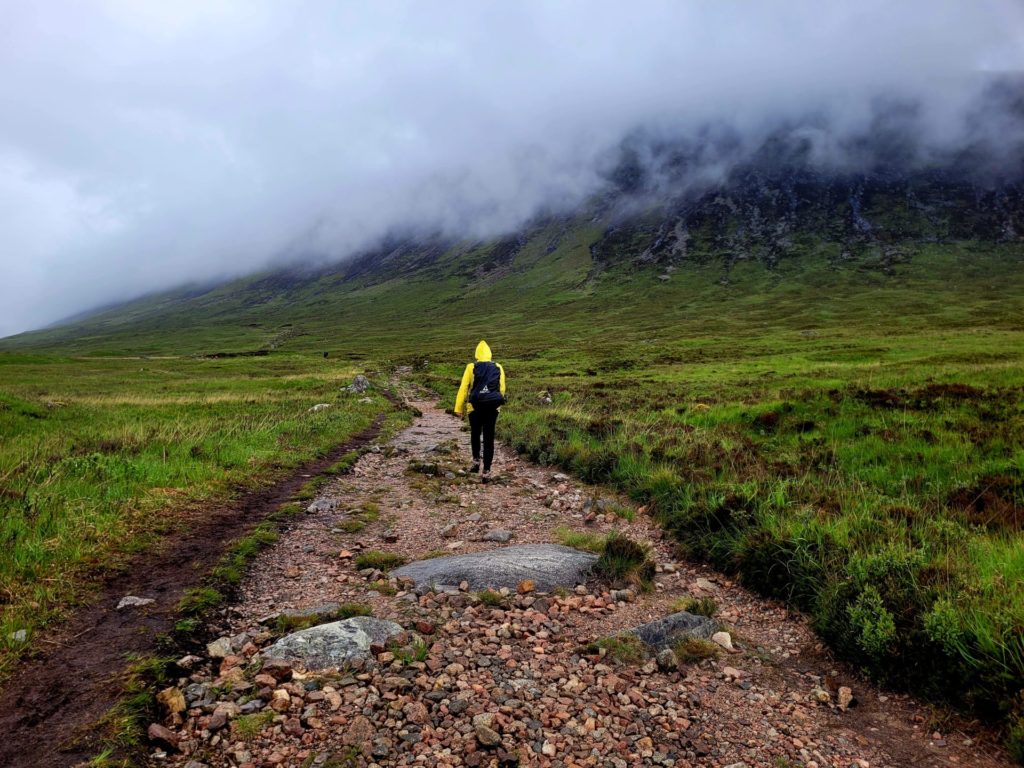
The trail can be broken down into smaller stages, including the 3-day hike from Bridge of Orchy to Fort William, which cover approximately 60km. This section passes by some of the most beautiful Munros and scenic areas along the route, including the Devil’s Stair Case.
Best Season to Hike to Avoid Crowds
Late spring (May) to autumn (October) presents an ideal window for hiking the West Highland Way. Scotland’s weather remains unpredictable throughout the year, even during peak summer months, so be prepared for rain at any time.
Summer temperatures typically range from 15-25 degrees Celsius in the highlands, with a mix of rain and sunshine. The trail tends to be less crowded during the spring and autumn months.
Remote trails like these usually attract fewer visitors.
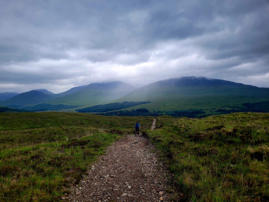
We hiked the West Highland Way in June, widely regarded as one of the best times to visit Scotland due to favourable weather conditions. Despite it being the beginning of the peak hiking season, we encountered only a handful of fellow hikers along the trail.
While we were never entirely alone, we were able to maintain some distance from others and still enjoy the peacefulness of the hike. Although certain sections, like the Devil’s Staircase, saw more hikers, there were still many areas with very few people.
Our primary concern revolved around securing accommodation during the summer, given that we booked this trip with only a two-month notice. Bearing this in mind, I would recommend booking well in advance or considering hiking during the autumn season, before the highlands are blanketed in snow.
Facilities on Route
The West Highland Way trek passes through some remote areas in Scotland, offering little in terms of amenities along the route. Each village or town at the start and end of the day provides essential services such as restaurants, grocery stores, and cafes where you can stock up on supplies. It’s important to note that facilities such as restaurants or washrooms are not available along the route itself.
There are a few options available for accommodations during the trek, including small homestays, cozy hotels, and camping, with both designated and wild camping permitted.
Transport on Route
The start and end of the West Highland Way is connected via rail to major cities like Glasgow. Between the smaller towns, there is a Citylink bus, through it’s not always as frequent and some towns are not serviced.
Tour or Self Guided
This multi-day trek can be done independently. Transport between towns is possible and the trail is easy to navigate, as signage is frequent. Luggage transfers are also possible.
The Causeway Coast Way, Northern Ireland
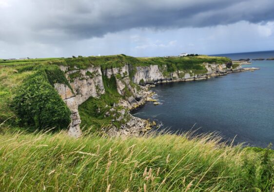
The Causeway Coast in Northern Ireland showcases some of the most beautiful wild coastlines, seaside villages, historical sites and landmarks in the country. Covering over 54km in 3 days, the Causeway Coast Way is a great introduction for first time hikers and walkers alike.This trail begins in Ballycastle and finishes on the beach in Portstewart.
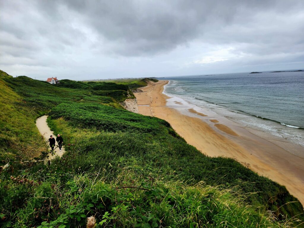
This low impact trail boasts beautiful beaches, ancient ruins and UNESCO World Heritage sites such as the Giant’s Causeway. This trek is part of a larger and longer hike, called the Ulster Way, which spans over 1000km along the rugged coast of Northern Ireland.
Best Season to Hike to Avoid Crowds
The Causeway Coast Trail can be enjoyed best from late spring to autumn. As with most northern coastal routes, weather can be a little hard to predict, even during peak weather conditions. For clearer skies, warm conditions, summer is the best option.
Daytime temperatures in Northern Ireland can hover around 12-18 degrees Celcius, which perfect hiking weather.
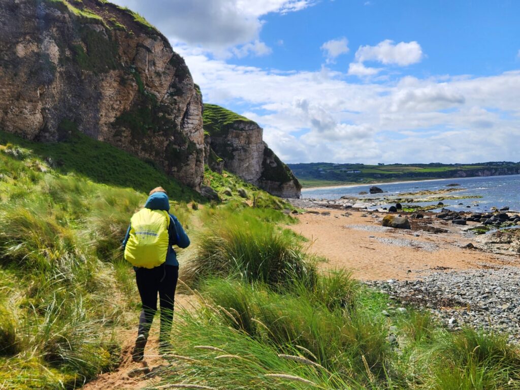
While the summer months in Ireland as a whole is considered peak tourist season, you may be surprised to find the trails empty for the most part.
We hiked the trail during mid July and discovered the trials to be completely empty. The only place we encountered crowds was at The Giant’s Causeway.
Northern Ireland features numerous famous and well-known areas that draw many visitors, who often confine themselves to the landmarks and bypass the walking routes. Self-drive routes are highly favoured along this coastal path.
Facilities on Route
There is an array of inns, small guests houses and some designated camp sites along this coastal route. Summer may be harder to find accommodations close to the trail, but not impossible.
Restaurants, cafes, washrooms, and landmarks are conveniently situated along the trail, reducing the necessity for multi-day trekkers to carry excessive food supplies. Additionally, small supermarkets can be found in most towns along the way.
Transport on Route
The Causeway Coast Way is public transit friendly, with trains and buses connecting the trailheads and towns in between. Buses from Belfast connect hikers to Ballycastle and Portstewart. Buses frequently run between towns, allowing visitors to shorten their hike if necessary.
Tour or Self Guided
This trail can be done completely independently. I would suggest using a tour at one of the many landmarks along the route, such as the Giant’s Causeway or kayaking at Carrick-a-Rede Bridge.
The Jordan Trail, Jordan
The Jordan Trail is one of the underrated and remote hikes on this list. This moderate to challenging trek spans over 675km from the northern tip of Jordan at Um Qais to the southern red sea at Aqaba.
The hikes typically takes 40 days to complete and passes through some of the most diverse terrain. The north is lush, vibrant green and has lakes and forests., while the south is dry arid desert. The south is home to some of the world most famous landmarks such as Petra and Wadi Rum.
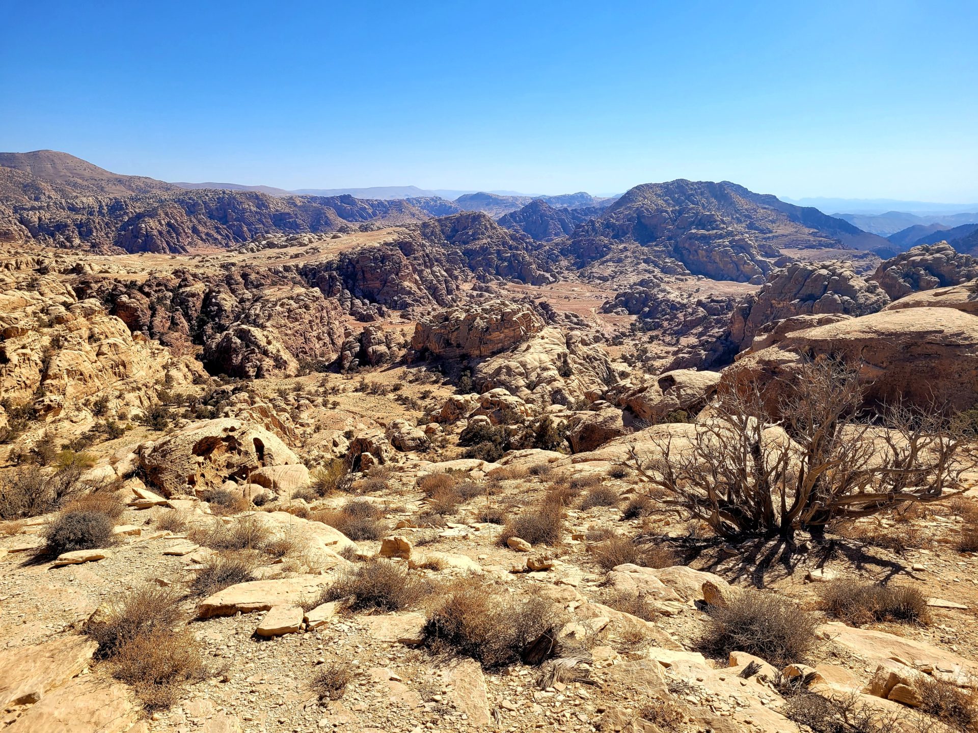
The trail can be broken up into smaller sections completed over 3-4 days, including the trek from the Dana Reserve to Little Petra. This trail is approximately 60km.
Best Season to Hike to Avoid Crowds
The majority of visitors to Jordan prioritize exploring historical sites like Petra, the Dead Sea, and Wadi Rum. Fewer individuals venture beyond to discover the wilder side of Jordan, which is a shame, as it is incredibly beautiful.
Consequently, hiking during any season will likely result in encountering minimal tourists.
Spring (March-May) and Autumn (October-November) will have the most ideal trekking weather and clear skies. Depending on which region you start in, temperatures can range from 20-30 degrees Celsius.
The southern section is considerably hotter than the north. Flash flooding in possible in the winter months and summer can be unbearable.
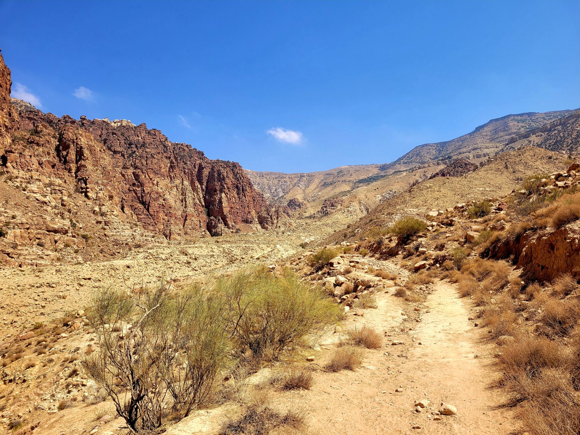
I hiked the Jordan Trail in mid-September. Although most days were clear, we did encounter one particularly hot day that left us with little water. I would suggest spring as a better alternative.
On the bright side, apart from Petra, I encountered absolutely no one on the trail. For three days, it was just me and my guide.
Facilities on Route
Depending on the section you choose, amenities such as water, food, and lodging may be scarce. Wild camping or homestays are the preferred options, with arrangements possible for water drops.
Transport on Route
Transportation is limited along the trail, particularly between some of the more isolated areas. Local buses serve some of the larger towns, and arrangements can also be made for private taxis and drivers.
Tour or Self Guided
For the Jordan Trail, I would recommend opting for a guided tour. Markers are not frequent along the trail, and the terrain can be quite challenging to navigate in certain sections.
The trail can be extremely isolated with limited access to water, which adds to the potential for issues. Guided tours not only provide local guides, food, water, and camping options, but they also offer a safety net in the event of an emergency, including access to vehicles and phone services
Pic d’Imarivolanitra, Madagascar
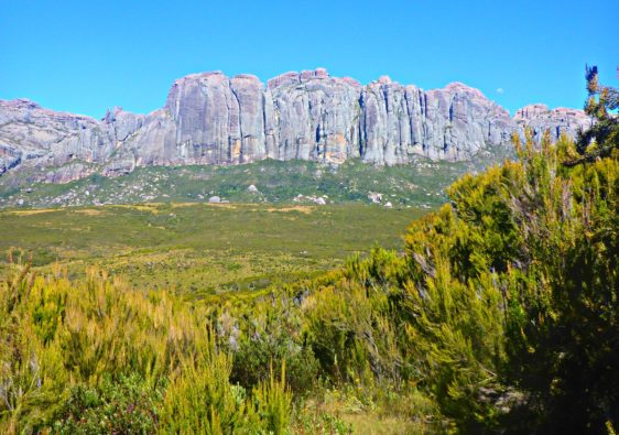
Pic d’Imarivolanitra, also known as Pic Boby, is a awe inspiring wild adventure through Madagascar’s gorgeous Andringitra National Park. The trail passes through many different biospheres, some reaching 2000m above seal level.
The trail climbs to the second highest mountain in Madagascar. This route can be done in 2-4 days, depending on the route selected and is very isolated.
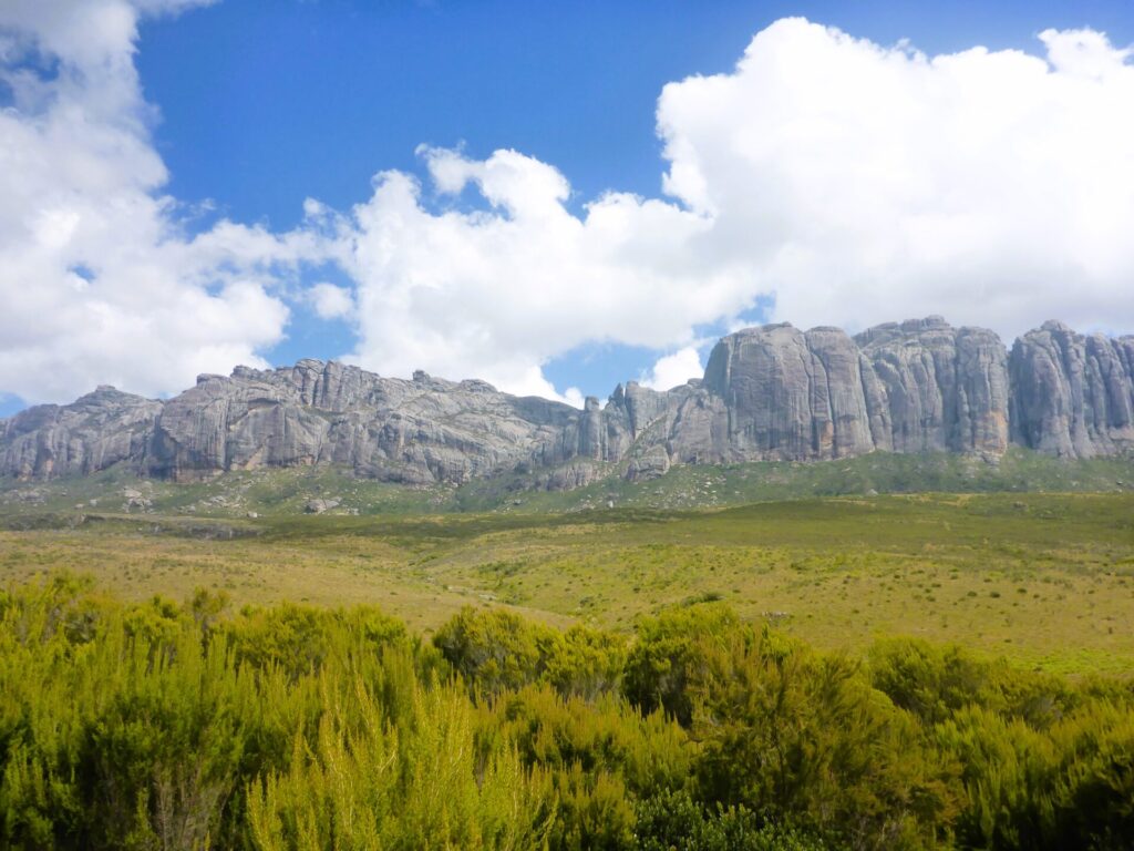
There are many different routes, but the most beautiful begins in Namoly and ends in the Tsaranoro Valley. This 4 day journey covers over 40km and passes through granite massifs, plateaus, and lunar landscapes.
Best Season to Hike to Avoid Crowds
Madagascar rarely sees visitors in general, so even during peak season, visiting should not be an issue. Andringitra National Park is one of the least visited parks in the country and rarely experiences the influx of tourists like Isalo National Park.
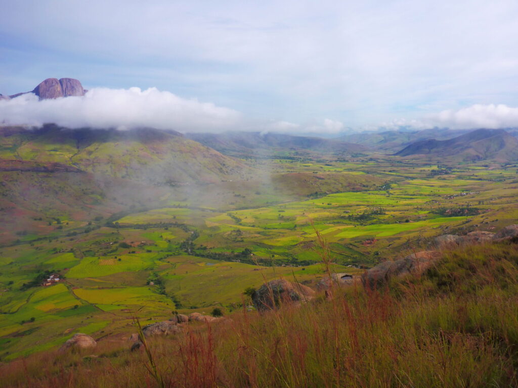
The best season in terms of weather is between May to October, as it avoids the rainy season. Daytime temperatures can range from 15-25 degrees Celsius, depending on where you begin. Evenings can still be chilly, especially in the highlands. Snow is not uncommon on Pic Boby during the winter months.
I visited in mid-April and experienced perfect weather. In fact, I encountered only one other tourist group (two individuals) during the entire four-day trip.
Facilities on Route
Food, water, and other essential supplies are transported into the park by the remarkable porters. Given how remote the trek is, don’t anticipate any nearby villages or restaurants. Wild camping is the sole option during this exceedingly remote trek.
Campsites are equipped with drop toilets and cooking shelters, although there is no access to running water.
Transport on Route
There are no major towns nearby, and reaching the national park gates near Namoly requires a challenging 2-hour drive on a rugged road. Transportation within Madagascar is limited, making it even more difficult to access this park.
Consequently, one reason for the lack of tourists is the challenging journey required to reach it. Hiring a private driver or tour is the most effective way to reach the national park gates.
Tour or Self Guided
It is required to hire a guide when visiting any national park in Madagascar. You can select guides at the park headquarters, along with porters, or you can arrange ahead of time with a local tour agency to provide all the necessary equipment for your trip.
This often includes transport to and from during your trip.
